
1961 Map of Frankfort
USGS Topo · Published 1963About this map
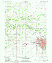
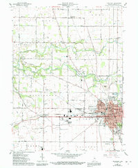
Frankfort serves as a dense municipal hub in this early 1960s survey, defined by its intensive intersection of major rail lines including the Monon, Pennsylvania, and the New York Chicago and St Louis railroads. The surrounding landscape of Clinton County is a structured grid of rural townships like Washington and Center, where agricultural life centers around small clusters such as Jefferson and Cambria. The meandering South Fork Wildcat Creek cuts a natural contrast across the northern half of the map, flanked by family-named landmarks like Bunnell Cem and Providence Cem. Significant civic infrastructure is evident on the city’s fringes, from the Frankfort-Clinton County Airport to the County Fairgrounds and the retirement community at Wesley Manor, illustrating the mid-century expansion of the county seat.
Find a feature on this map
52 named features on this map. Tap any name to fly to it.
Don’t see what you’re looking for? This feature index may not catch every label — zoom into the map to look around manually.
Map Details
Editions of this 1961 Frankfort Map
3 editions found
Other maps of this area

1953 · Danville
USGS Topo · 1:250,000

1955 · Danville
USGS Topo · 1:250,000

1956 · Danville
USGS Topo · 1:250,000

1961 · Michigantown
USGS Topo · 1:24,000

1961 · Mulberry
USGS Topo · 1:24,000

1961 · Pyrmont
USGS Topo · 1:24,000

1961 · Mechanicsburg
USGS Topo · 1:24,000

1961 · Rossville
USGS Topo · 1:24,000

1961 · Burlington
USGS Topo · 1:24,000
1962 · Thorntown
USGS Topo · 1:24,000