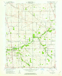
1961 Map of Mechanicsburg
USGS Topo · Published 1978About this map
The Monon railroad tracks cut a diagonal path through this rural landscape on the border of Clinton and Boone Counties, connecting the small grain and transit hubs of Cyclone and Mechanicsburg. The mid-century agricultural character is defined by a dense network of country roads, including West 261st Street and Rogers Avenue, which serve scattered farmsteads and specialized sites like the Storage Bins near Cyclone.
Find a feature on this map
41 named features on this map. Tap any name to fly to it.
Don’t see what you’re looking for? This feature index may not catch every label — zoom into the map to look around manually.
Map Details
Editions of this 1961 Mechanicsburg Map
2 editions found
Other maps of this area

1953 · Rosston
USGS Topo · 1:24,000

1953 · Lebanon
USGS Topo · 1:24,000

1953 · Danville
USGS Topo · 1:250,000

1955 · Danville
USGS Topo · 1:250,000

1956 · Danville
USGS Topo · 1:250,000

1961 · Michigantown
USGS Topo · 1:24,000

1961 · Mechanicsburg
USGS Topo · 1:24,000

1961 · Hillisburg
USGS Topo · 1:24,000

1961 · Frankfort
USGS Topo · 1:24,000
1961 · Kirklin
USGS Topo · 1:24,000