Loading...
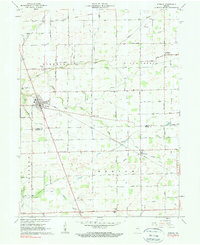
Loading map...1961 Map of Kirklin
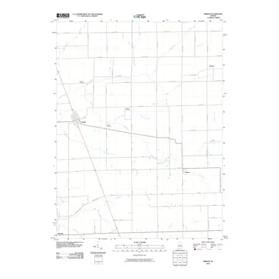
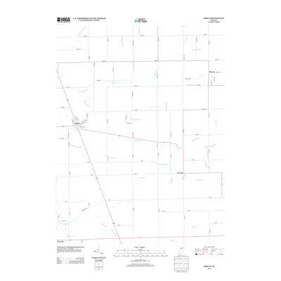
USGS Topo · Published 1977About this map
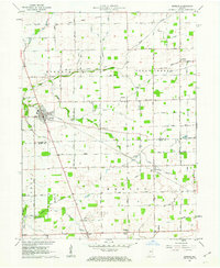
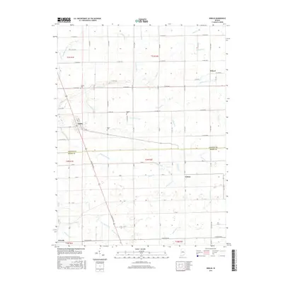
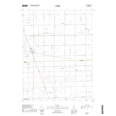
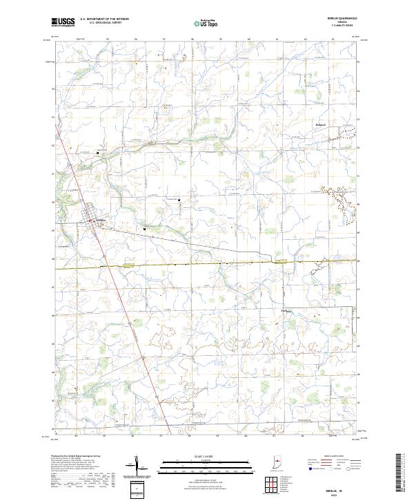
Kirklin serves as the primary hub on this mid-century survey, situated at the intersection of several regional thoroughfares and the Monon railroad line. The landscape is defined by an intricate network of agricultural drainage, including the Treaty Boundary Ditch, Scott Ditch, and Gangwer Ditch, which feed into the meandering Sugar Creek. These watercourses reveal the intensive land management required for the productive farmland of Clinton and Boone counties.
Find a feature on this map
46 named features on this map. Tap any name to fly to it.
Don’t see what you’re looking for? This feature index may not catch every label — zoom into the map to look around manually.
Map Details
Date Portrayed1961
Date Published1977
PublisherU.S. Geological Survey
Map TypeTopographic
Scale1:24,000
Physical Dimensions22.1 x 27 inches
Editions of this 1961 Kirklin Map
2 editions found
Historical Maps of Kirklin Through Time
6 maps found
Featured Locations
Source Details
SourceU.S. Geological Survey
CopyrightPublic Domain