
1961 Map of Sheridan
USGS Topo · Published 1962About this map
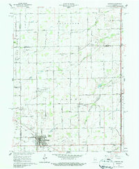
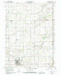
Sheridan and its surrounding townships in Hamilton and Tipton counties are depicted here in the early 1960s, a period defined by the convergence of traditional agriculture and burgeoning aviation. The town center is anchored by the Monon railroad corridor, while the outskirts are punctuated by both Black Hawk Airport and Sheridan Airport. This landscape is heavily shaped by an extensive network of drainage systems, including Kigin Ditch, Cox Ditch, and Mc Kinzie Ditch, which support the productive farmland of Jefferson and Adams townships.
Find a feature on this map
72 named features on this map. Tap any name to fly to it.
Don’t see what you’re looking for? This feature index may not catch every label — zoom into the map to look around manually.
Map Details
Editions of this 1961 Sheridan Map
3 editions found
Other maps of this area

1953 · Westfield
USGS Topo · 1:24,000

1953 · Rosston
USGS Topo · 1:24,000

1953 · Noblesville
USGS Topo · 1:24,000

1953 · Danville
USGS Topo · 1:250,000

1955 · Danville
USGS Topo · 1:250,000

1956 · Danville
USGS Topo · 1:250,000

1960 · Noblesville
USGS Topo · 1:24,000

1960 · Kempton
USGS Topo · 1:24,000

1960 · Tipton
USGS Topo · 1:24,000

1961 · Hillisburg
USGS Topo · 1:24,000