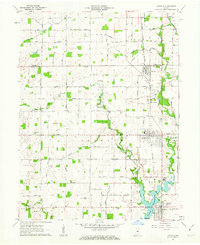
1961 Map of Arcadia
USGS Topo · Published 1963About this map
Cicero Creek meanders southward through this central Indiana landscape, dictating the placement of early settlements and agricultural boundaries. At the southern edge of the sheet, the newly formed Morse Reservoir fills the valley, with its northern reaches backing up toward the Cicero town center. The inland geography is defined by a grid of rural roads and the Chicago and St Louis railroad, which links the towns of Atlanta, Arcadia, and Millersburg. Genealogists will find a wealth of family history markers, including Goodykoontz Cem, Dunn Cem, and the Taylor Cem. The map also reveals specialized landmarks of the era, such as the Indiana Academy near the reservoir and a Racetrack on the western edge of Arcadia, reflecting a community that balanced agrarian life with institutional and recreational growth.
Find a feature on this map
51 named features on this map. Tap any name to fly to it.
Don’t see what you’re looking for? This feature index may not catch every label — zoom into the map to look around manually.
Map Details
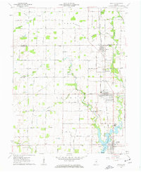
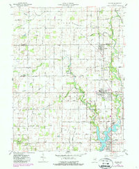
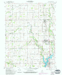
Editions of this 1961 Arcadia Map
4 editions found
Other maps of this area

1953 · Westfield
USGS Topo · 1:24,000

1953 · Riverwood
USGS Topo · 1:24,000

1953 · Noblesville
USGS Topo · 1:24,000

1953 · Danville
USGS Topo · 1:250,000

1953 · Muncie
USGS Topo · 1:250,000

1955 · Danville
USGS Topo · 1:250,000

1956 · Muncie
USGS Topo · 1:250,000

1956 · Danville
USGS Topo · 1:250,000

1960 · Noblesville
USGS Topo · 1:24,000

1960 · Kempton
USGS Topo · 1:24,000