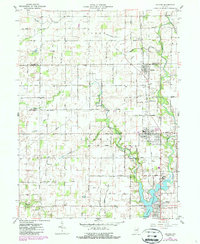
1961 Map of Arcadia
USGS Topo · Published 1987About this map
The Norfolk and Western railroad corridor serves as the industrial spine of northern Hamilton County, connecting the agricultural and residential hubs of Atlanta, Arcadia, and Cicero. This mid-century survey captures the region as the southern landscape was being reshaped by the waters of Morse Reservoir, which flooded former creek beds near the Indiana Academy. To the north, the terrain remains dominated by traditional farm plots and a network of named country roads like 400 South Road and East 286th Street. Local history is preserved through numerous family and community landmarks, including Goodykoontz Cem, Roberts Chapel Cem, and New Hope Ch. The transition from rural creek-side settlements like Millersburg to the emerging recreational shoreline at the reservoir reflects the evolving water management and land use patterns of the early 1960s.
Find a feature on this map
56 named features on this map. Tap any name to fly to it.
Don’t see what you’re looking for? This feature index may not catch every label — zoom into the map to look around manually.
Map Details
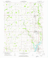
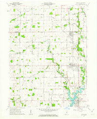
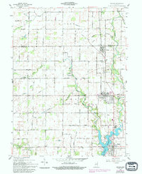
Editions of this 1961 Arcadia Map
4 editions found
Other maps of this area

1953 · Westfield
USGS Topo · 1:24,000

1953 · Riverwood
USGS Topo · 1:24,000

1953 · Noblesville
USGS Topo · 1:24,000

1953 · Danville
USGS Topo · 1:250,000

1953 · Muncie
USGS Topo · 1:250,000

1955 · Danville
USGS Topo · 1:250,000

1956 · Muncie
USGS Topo · 1:250,000

1956 · Danville
USGS Topo · 1:250,000

1960 · Noblesville
USGS Topo · 1:24,000

1960 · Kempton
USGS Topo · 1:24,000