2023 Map of Arcanum
USGS Topo · Published 2023About this map
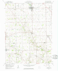
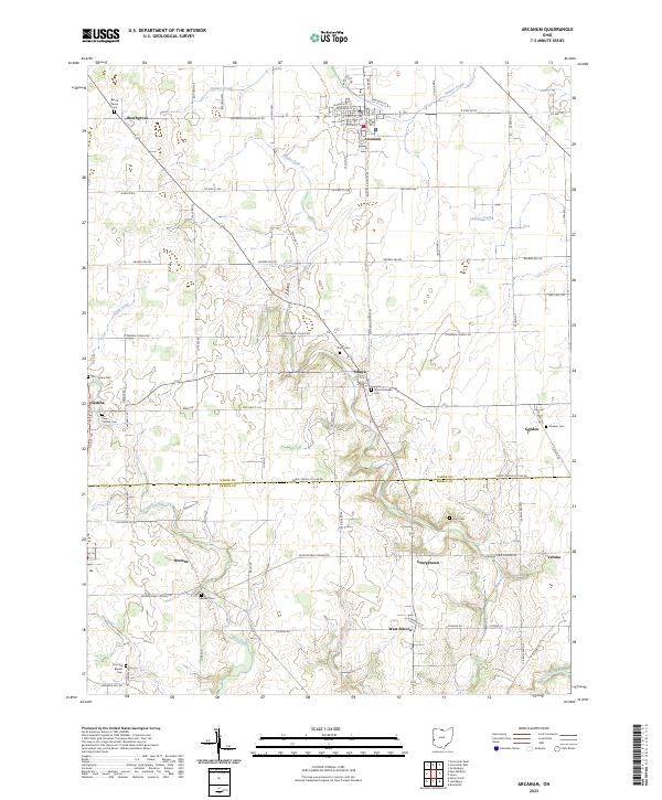
Arcanum serves as the primary hub of this western Ohio landscape, where the agricultural grid is interrupted only by the winding paths of Millers Fork and Painter Creek. The map documents a high density of local cemeteries, such as Beech Grove Cem and Old Castine Cem, which provide essential touchpoints for genealogists tracing family histories in the Darke and Preble County borderlands. Small settlements like Ithaca and Gordon remain clustered around historic road junctions, while the southern edge of the sheet follows the Darke-Preble Co Line Rd. The terrain is characterized by gentle transitions between upland farms and the riparian corridors of Twin Creek and Ludlow Creek, reflecting a region deeply committed to its rural heritage and traditional land divisions.
Find a feature on this map
79 named features on this map. Tap any name to fly to it.
Don’t see what you’re looking for? This feature index may not catch every label — zoom into the map to look around manually.
Map Details
Editions of this 2023 Arcanum Map
This is the sole edition of this map. No revisions or reprints were ever made.