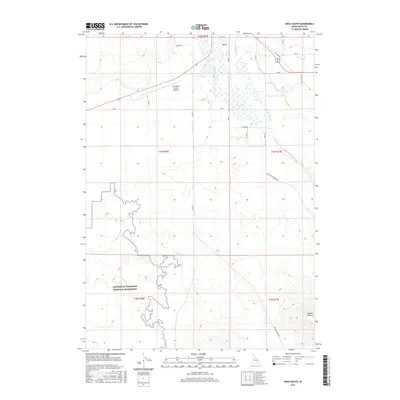
2017 Map of Arco South
USGS Topo · Published 2017About this map
Craters of the Moon National Monument defines the rugged southern half of this landscape, where complex contour lines trace the volcanic terrain of the Snake River Plain. The northern reaches transition into the agricultural and transport corridor of Arco, situated just above the junction of several essential water management features including the Arco Canal, Munsey Ditch, and the winding Big Lost River. This survey captures the vital intersection of high-desert conservation and the irrigation-dependent ranching economy of Butte County.
Find a feature on this map
18 named features on this map. Tap any name to fly to it.
Don’t see what you’re looking for? This feature index may not catch every label — zoom into the map to look around manually.
Map Details
Editions of this 2017 Arco South Map
This is the sole edition of this map. No revisions or reprints were ever made.
Other maps of this area

1955 · Idaho Falls
USGS Topo · 1:250,000

1958 · Idaho Falls
USGS Topo · 1:250,000

1972 · Quaking Aspen Butte
USGS Topo · 1:24,000

1972 · Arco North
USGS Topo · 1:24,000

1972 · Arco South
USGS Topo · 1:24,000

1972 · Butte City
USGS Topo · 1:24,000

1972 · Nichols Reservoir
USGS Topo · 1:24,000

1972 · Arco Hills
USGS Topo · 1:24,000

1972 · Fingers Butte
USGS Topo · 1:24,000

1972 · Appendicitis Hill
USGS Topo · 1:24,000