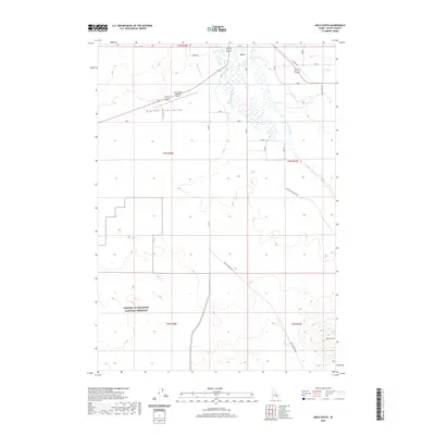
2020 Map of Arco South
USGS Topo · Published 2020About this map
Arco and its surrounding high desert landscape are documented here just south of the Lost River Range. The town occupies the northern edge of the map, where the Big Lost River Valley opens into a complex network of natural and engineered waterways including the Big Lost River, Ferris Slough, and the Arco Canal. This water management system is essential for the valley's character, contrasting sharply with the arid terrain found further south. In the southwestern quadrant, the boundaries of Craters of the Moon National Preserve mark the transition into one of Idaho's most distinctive volcanic landscapes. Local travel and infrastructure are defined by the Arco-Butte County Airport and a grid of rural routes such as the Arco-Minidoka Rd, providing a detailed look at the interface between human settlement and the volcanic frontier in the early twenty-first century.
Find a feature on this map
25 named features on this map. Tap any name to fly to it.
Don’t see what you’re looking for? This feature index may not catch every label — zoom into the map to look around manually.
Map Details
Editions of this 2020 Arco South Map
This is the sole edition of this map. No revisions or reprints were ever made.
Other maps of this area

1955 · Idaho Falls
USGS Topo · 1:250,000

1958 · Idaho Falls
USGS Topo · 1:250,000

1972 · Quaking Aspen Butte
USGS Topo · 1:24,000

1972 · Arco North
USGS Topo · 1:24,000

1972 · Arco South
USGS Topo · 1:24,000

1972 · Butte City
USGS Topo · 1:24,000

1972 · Nichols Reservoir
USGS Topo · 1:24,000

1972 · Arco Hills
USGS Topo · 1:24,000

1972 · Fingers Butte
USGS Topo · 1:24,000

1972 · Appendicitis Hill
USGS Topo · 1:24,000