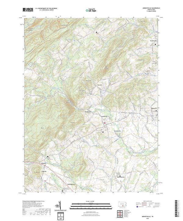
2023 Map of Arendtsville
USGS Topo · Published 2023About this map
Arendtsville serves as a central hub in this section of Adams County, where the agricultural landscape meets the rising elevations of South Mountain. The map shows a high density of small 19th-century settlements and crossroad hamlets, including Bendersville, McKnightstown, and Cashtown, many of which maintain distinct town grids. This area is defined by its numerous family and congregational burial grounds, such as the German Society Lutheran Calvinist Cem and the Mummasburg Mennonite Cem, providing critical locations for genealogical research.
Find a feature on this map
130 named features on this map. Tap any name to fly to it.
Don’t see what you’re looking for? This feature index may not catch every label — zoom into the map to look around manually.
Map Details
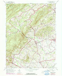
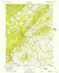
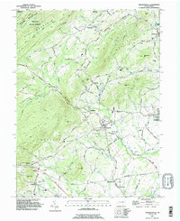
Editions of this 2023 Arendtsville Map
This is the sole edition of this map. No revisions or reprints were ever made.
Historical Maps of Cashtown Through Time
4 maps found
Featured Locations
- Southampton Township, PA
- Butler Township, PA
- Arendtsville, PA
- Menallen Township, PA
- Franklin Township, PA