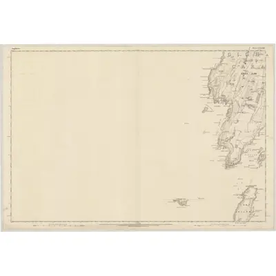
1869 Map of Argyllshire, Sheet CCXXXIV (with inset CCXL)
Ordnance Survey Six-inch · Published 1872This historical map portrays the area of Argyllshire, Sheet CCXXXIV (with inset CCXL) in 1869, primarily covering Ardminish as well as portions of Keil Cottages. Featuring a scale of 1:10,560, this map provides a highly detailed snapshot of the terrain, roads, buildings, parishes, and historical landmarks in the Argyllshire, Sheet CCXXXIV (with inset CCXL) region at the time. Published in 1872, it is one of 2 known editions of this map due to revisions or reprints.
Map Details
Editions of this 1869 Argyllshire, Sheet CCXXXIV (with inset CCXL) Map
2 editions found
Other maps of this area
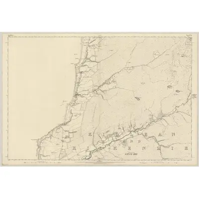
1867 · Argyllshire, Sheet CCXLI
Ordnance Survey Six-inch · 1:10,560
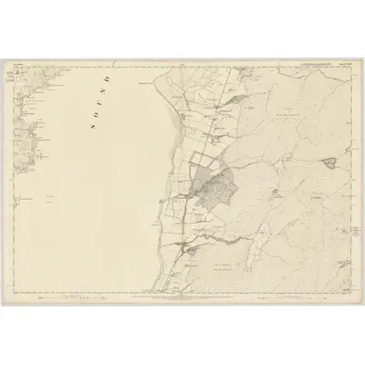
1867 · Argyllshire, Sheet CCXXXV
Ordnance Survey Six-inch · 1:10,560
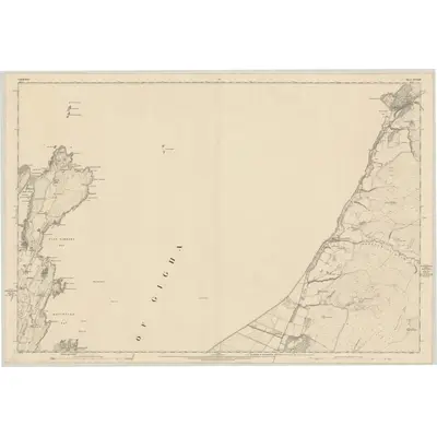
1867 · Argyllshire, Sheet CCXXIII
Ordnance Survey Six-inch · 1:10,560
1869 · Argyllshire, Sheet CCXXII
Ordnance Survey Six-inch · 1:10,560
1878 · Argyllshire, Sheet CCXXI
Ordnance Survey Six-inch · 1:10,560
1878 · Argyllshire, Sheet CCXXXIII
Ordnance Survey Six-inch · 1:10,560
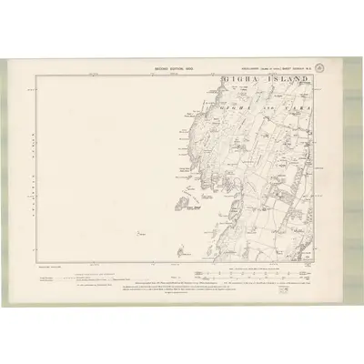
1898 · Argyll and Bute Sheet CCXXXIV.NE
Ordnance Survey Six-inch · 1:10,560
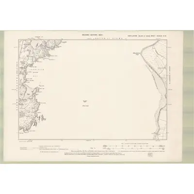
1898 · Argyll and Bute Sheet CCXXXV.NW
Ordnance Survey Six-inch · 1:10,560
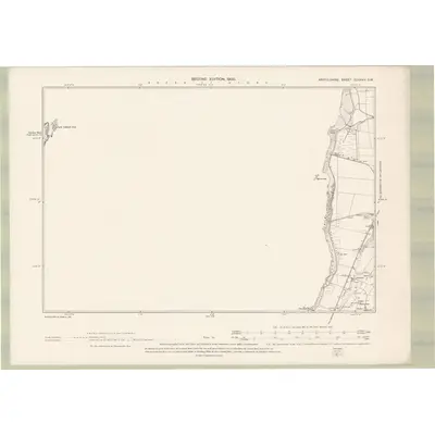
1898 · Argyll and Bute Sheet CCXXXV.SW
Ordnance Survey Six-inch · 1:10,560
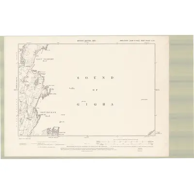
1898 · Argyll and Bute Sheet CCXXIII.SW
Ordnance Survey Six-inch · 1:10,560
Featured Places
Source Details
Reproduced with the permission of the National Library of Scotland