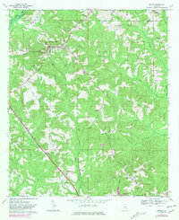
1969 Map of Ariton
USGS Topo · Published 1981About this map
The Seaboard Coast Line Railroad serves as the primary artery for this portion of Southeast Alabama, cutting a diagonal path through the settlement of Ariton. In this landscape, rural life centers on small crossroads and family landmarks such as Dillard, Barnes, and Dill. Genealogists will find a high density of burial sites and houses of worship, including the Universalist Cem, Richardson Cem, and Mt Olive Ch. The terrain is defined by a dense network of waterways like Pea River and Claybank Creek, which dictate the placement of local roads and farmsteads. Features like the Pleasant Grove Sch and Jernegans Pond offer specific points of interest for those tracing 20th-century community development in Dale and Barbour Counties.
Find a feature on this map
37 named features on this map. Tap any name to fly to it.
Don’t see what you’re looking for? This feature index may not catch every label — zoom into the map to look around manually.
Map Details
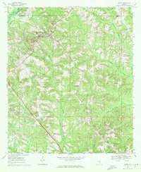
Editions of this 1969 Ariton Map
2 editions found
Other maps of this area

1942 · Enterprise
USGS Topo · 1:125,000

1948 · Ozark
USGS Topo · 1:62,500

1948 · Brundidge
USGS Topo · 1:62,500

1950 · Ozark
USGS Topo · 1:62,500

1950 · Enterprise
USGS Topo · 1:62,500

1950 · Brundidge
USGS Topo · 1:62,500

1953 · Dothan
USGS Topo · 1:250,000

1954 · Dothan
USGS Topo · 1:250,000

1955 · Dothan
USGS Topo · 1:250,000

1960 · Ewell
USGS Topo · 1:24,000