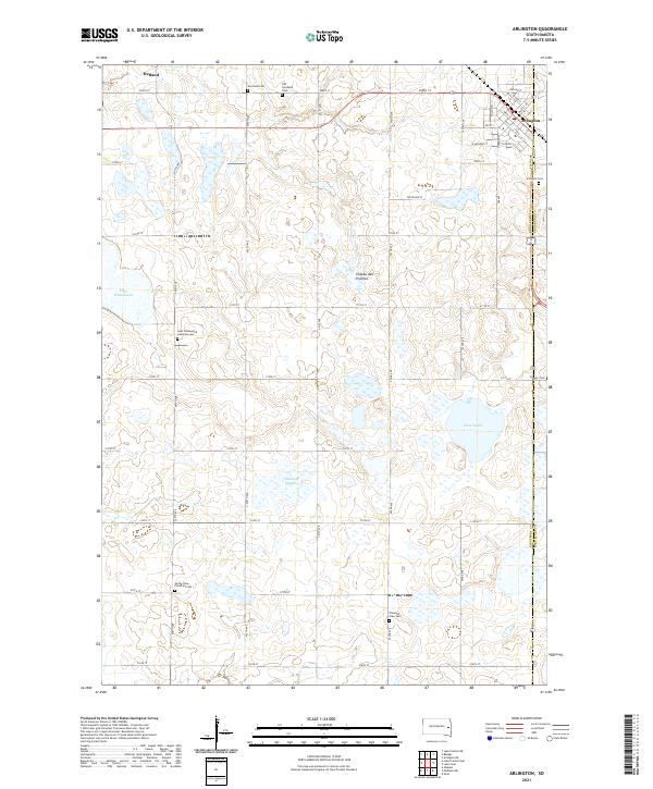
2021 Map of Arlington
USGS Topo · Published 2021About this map
Arlington and Hetland sit at the northern edge of this 2021 survey, documenting the settled prairie landscape along the Kingsbury and Brookings county line. The terrain is defined by the Coteau des Prairies plateau, a high glacial upland characterized by numerous basins and water bodies such as Lake Whitewood, Twin Lakes, and the marshy Tenneboe Slough. This modern map records a legacy of early Norwegian and Scandinavian settlement through its dense concentration of rural burial grounds, including the Old Nordland Cem, Lake Whitewood Lutheran Cem, and Bangor Cem. The grid-like road system, comprising routes like 451st Ave and 212th St, reveals how the land was partitioned for agriculture, while the street plan of Arlington shows the township's development centered on its original rail-aligned core.
Find a feature on this map
47 named features on this map. Tap any name to fly to it.
Don’t see what you’re looking for? This feature index may not catch every label — zoom into the map to look around manually.
Map Details
Editions of this 2021 Arlington Map
This is the sole edition of this map. No revisions or reprints were ever made.
Other maps of this area

1953 · Watertown
USGS Topo · 1:250,000

1958 · Watertown
USGS Topo · 1:250,000

1968 · Lake Sinai
USGS Topo · 1:24,000

1968 · Lake Preston East
USGS Topo · 1:24,000

1968 · Lake Preston NE
USGS Topo · 1:24,000

1968 · Arlington
USGS Topo · 1:24,000

1968 · Arlington NE
USGS Topo · 1:24,000

1968 · Sinai
USGS Topo · 1:24,000

1968 · Oldham
USGS Topo · 1:24,000

1968 · Badger
USGS Topo · 1:24,000