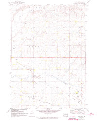
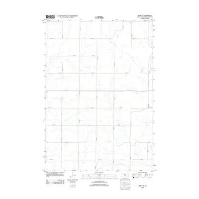
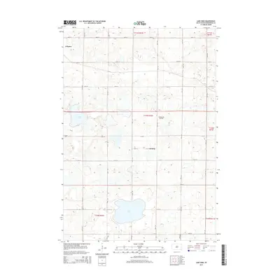
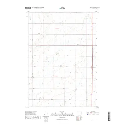
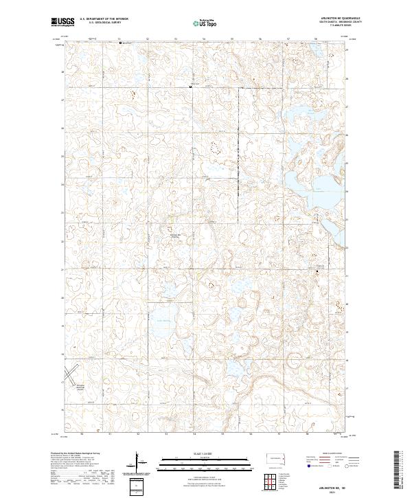
1968 Map of Arlington NE
USGS Topo · Published 1970About this map
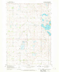
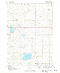
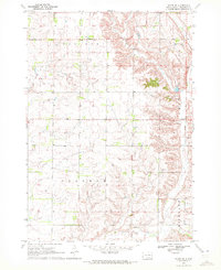
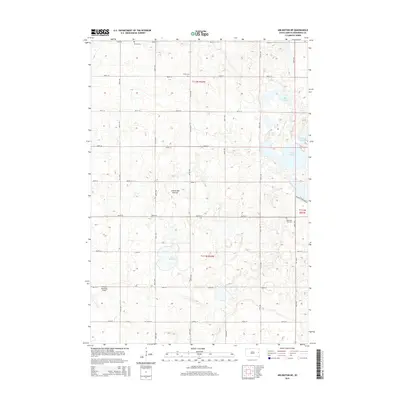
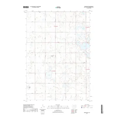
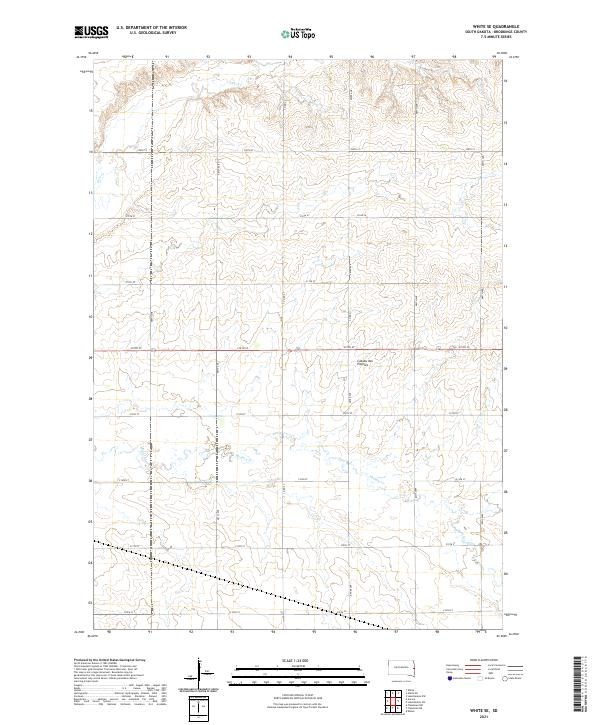
Glacial water bodies and wetlands define this portion of the South Dakota prairie, surveyed in the late 1960s. The landscape is dominated by the sprawling interconnected waters of Oakwood Lakes State Park, where Johnson Lake, Turtle Lake, and Lake Tetonkaha are surrounded by numerous Gravel Pits and sloughs. Further west, the National Wildlife Management Area protects the terrain around Lake Mitchell, reflecting the region's historical focus on conservation and water management within the townships of Laketon, Preston, and Winsor.
Find a feature on this map
18 named features on this map. Tap any name to fly to it.
Don’t see what you’re looking for? This feature index may not catch every label — zoom into the map to look around manually.
Map Details
Editions of this 1968 Arlington NE Map
This is the sole edition of this map. No revisions or reprints were ever made.
Historical Maps of Oakwood Township Through Time
25 maps found
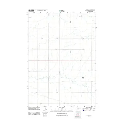
1968 Arlington NE
Brookings County, SD
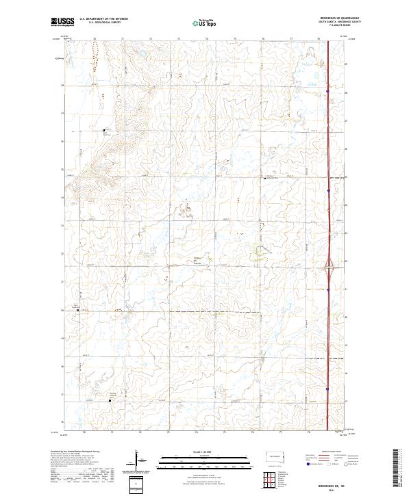
1968 Brookings NE
Brookings County, SD
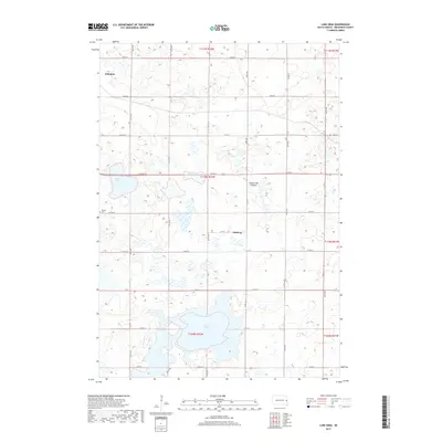
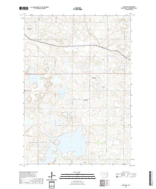
1968 Lake Sinai
Brookings County, SD
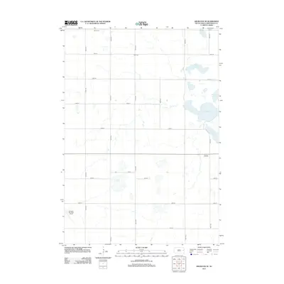
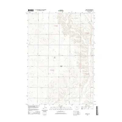
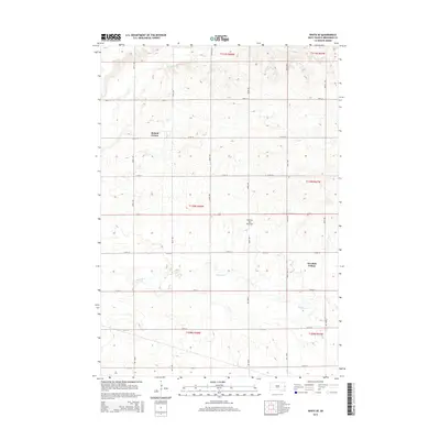
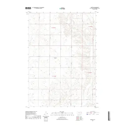
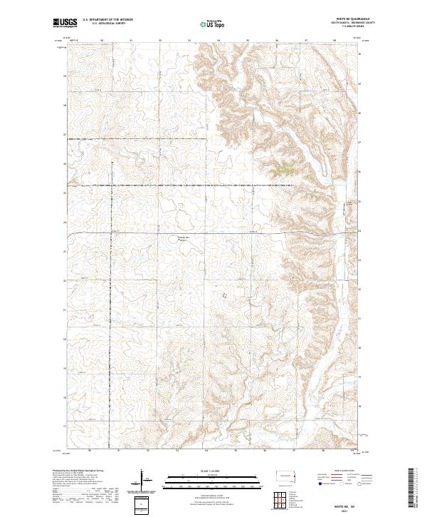
1970 White NE
Brookings County, SD
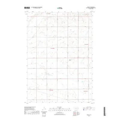
1972 White SE
Brookings County, SD
2012 Arlington NE
Brookings County, SD
2012 Brookings NE
Brookings County, SD
2012 Lake Sinai
Brookings County, SD
2012 White NE
Brookings County, SD
2012 White SE
Brookings County, SD
2015 Arlington NE
Brookings County, SD
2015 Brookings NE
Brookings County, SD
2015 Lake Sinai
Brookings County, SD
2015 White NE
Brookings County, SD
2015 White SE
Brookings County, SD
2017 Arlington NE
Brookings County, SD
2017 Brookings NE
Brookings County, SD
2017 Lake Sinai
Brookings County, SD
2017 White NE
Brookings County, SD
2017 White SE
Brookings County, SD
2021 Arlington NE
Brookings County, SD
2021 Brookings NE
Brookings County, SD
2021 Lake Sinai
Brookings County, SD
2021 White NE
Brookings County, SD
2021 White SE
Brookings County, SD