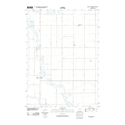
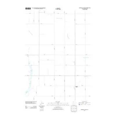
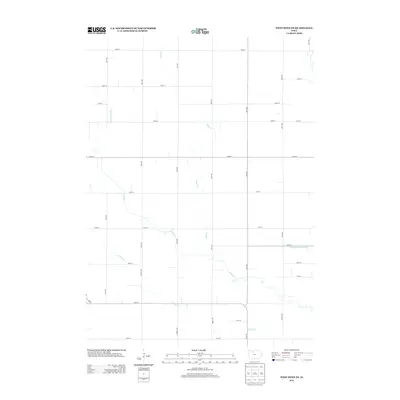
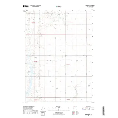
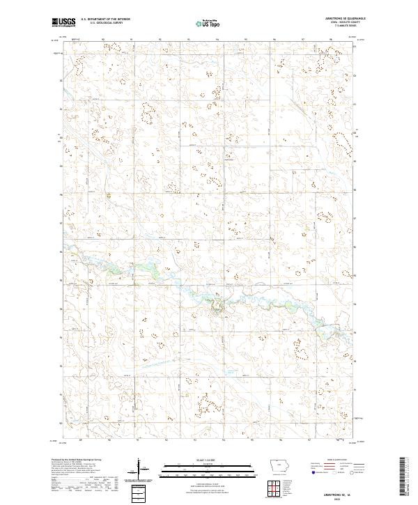
1980 Map of Armstrong SE
USGS Topo · Published 1980About this map
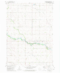
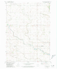
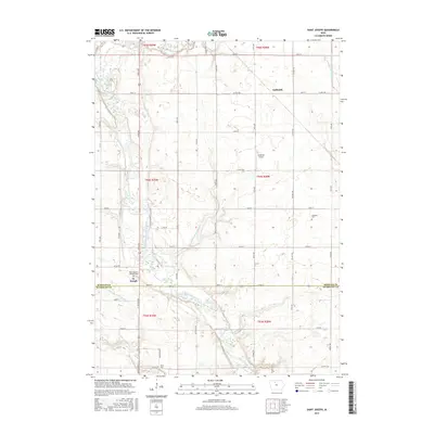
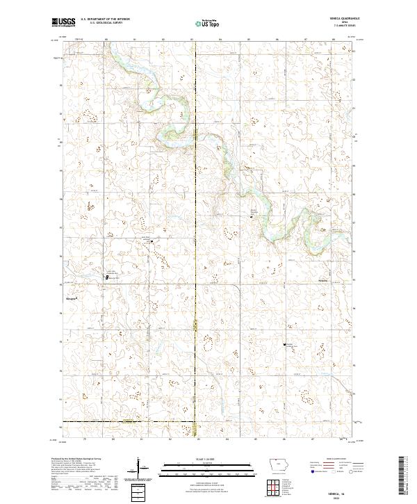
The East Fork Des Moines River meanders across the southern half of this landscape, defining the rural character of Kossuth County during the mid-1970s. This survey records a highly organized agricultural grid, where the townships of Swea, Harrison, Seneca, and Greenwood meet. Scattered family-named landmarks like the settlement at Johannesen and the Buaer Landing Strip provide valuable points of reference for local historians. Water resources are central to the terrain, with Prairie Creek, Mud Creek, and Calamus Creek draining the surrounding fields into the main river channel. The presence of several Gravel Pits and the municipal Sewage Disposal Ponds indicates the local industrial and infrastructure needs of the era.
Find a feature on this map
14 named features on this map. Tap any name to fly to it.
Don’t see what you’re looking for? This feature index may not catch every label — zoom into the map to look around manually.
Map Details
Editions of this 1980 Armstrong SE Map
This is the sole edition of this map. No revisions or reprints were ever made.
Historical Maps of Kossuth County Through Time
35 maps found
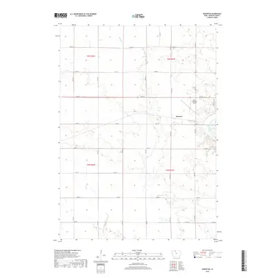
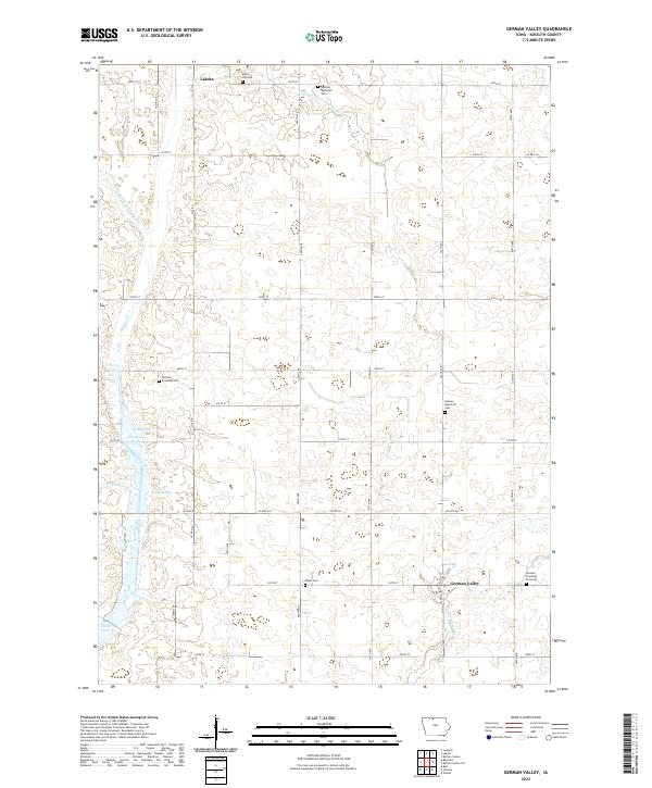
1972 German Valley
Kossuth County, IA
1980 Armstrong SE
Kossuth County, IA
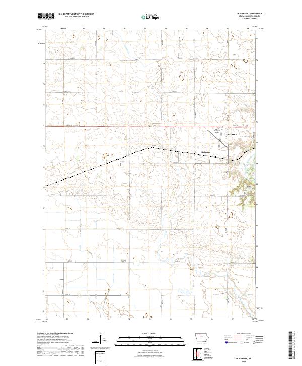
1980 Hobarton
Kossuth County, IA
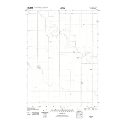
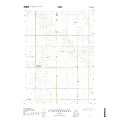
1980 Seneca
Kossuth County, IA
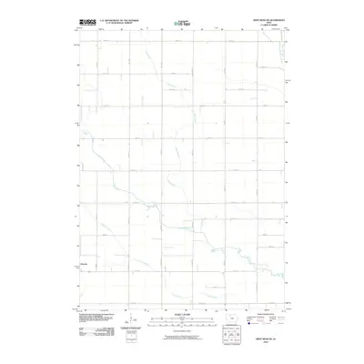
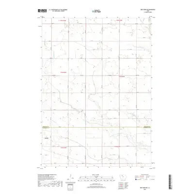
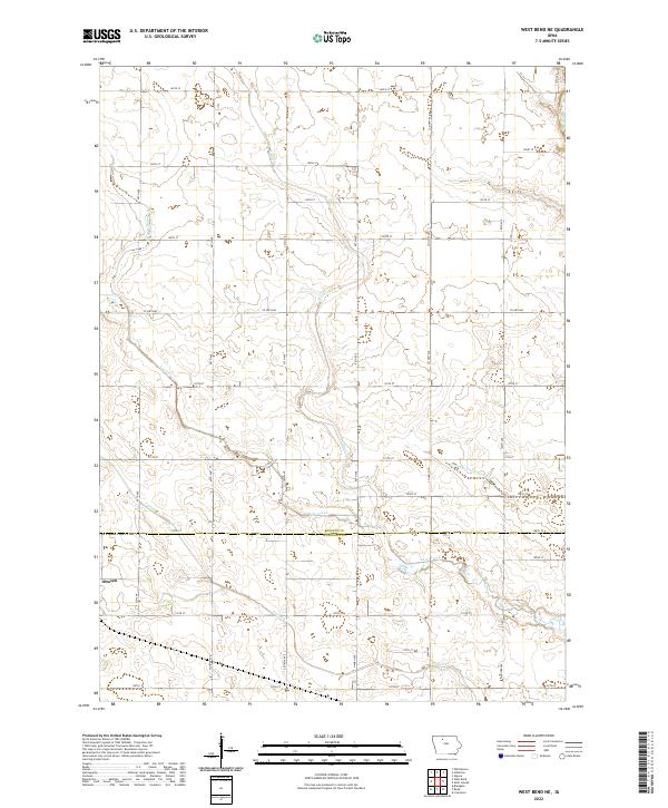
1980 West Bend NE
Kossuth County, IA
2010 Armstrong SE
Kossuth County, IA
2010 German Valley
Kossuth County, IA
2010 Hobarton
Kossuth County, IA
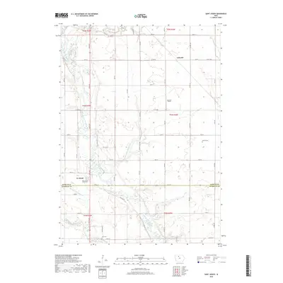
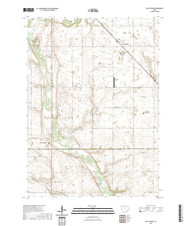
2010 Saint Joseph
Kossuth County, IA
2010 Seneca
Kossuth County, IA
2010 West Bend NE
Kossuth County, IA
2013 Armstrong SE
Kossuth County, IA
2013 German Valley
Kossuth County, IA
2013 Hobarton
Kossuth County, IA
2013 Saint Joseph
Kossuth County, IA
2013 Seneca
Kossuth County, IA
2013 West Bend NE
Kossuth County, IA
2015 Armstrong SE
Kossuth County, IA
2015 German Valley
Kossuth County, IA
2015 Hobarton
Kossuth County, IA
2015 Saint Joseph
Kossuth County, IA
2015 Seneca
Kossuth County, IA
2015 West Bend NE
Kossuth County, IA
2018 Armstrong SE
Kossuth County, IA
2018 German Valley
Kossuth County, IA
2018 Hobarton
Kossuth County, IA
2018 Saint Joseph
Kossuth County, IA
2018 Seneca
Kossuth County, IA
2018 West Bend NE
Kossuth County, IA
2022 Armstrong SE
Kossuth County, IA
2022 German Valley
Kossuth County, IA
2022 Hobarton
Kossuth County, IA
2022 Saint Joseph
Kossuth County, IA
2022 Seneca
Kossuth County, IA
2022 West Bend NE
Kossuth County, IA