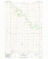
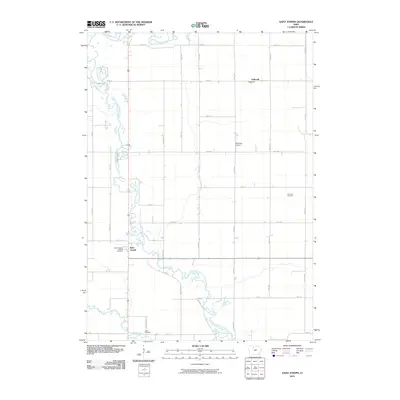
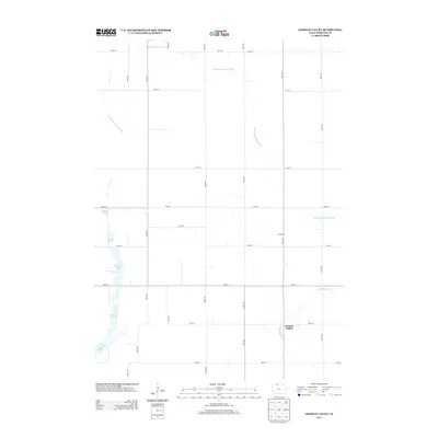
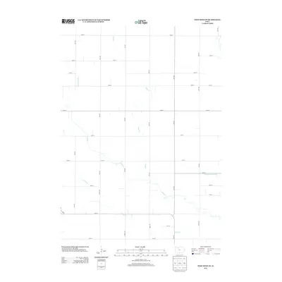
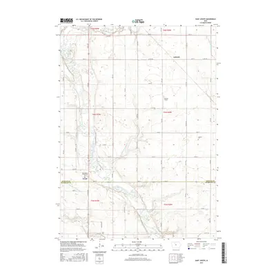
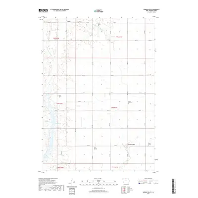
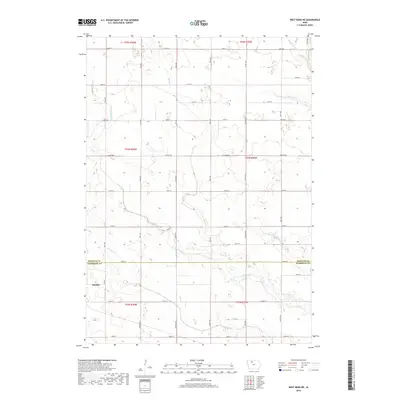
1980 Map of West Bend NE
USGS Topo · Published 1981About this map
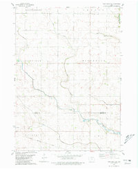
Ottosen sits in the southwestern corner of this Iowa landscape, a pocket of development situated along the Chicago Rock Island and Pacific railroad line. The map reveals a complex system of agricultural drainage and natural waterways, where the meandering course of Lotts Creek is joined by tributaries including Hine Creek and Trulner Creek. These streams cut through the townships of Garfield, Riverdale, and Wacousta, illustrating the transition from open prairie to managed farmland.
Find a feature on this map
15 named features on this map. Tap any name to fly to it.
Don’t see what you’re looking for? This feature index may not catch every label — zoom into the map to look around manually.
Map Details
Editions of this 1980 West Bend NE Map
This is the sole edition of this map. No revisions or reprints were ever made.
Historical Maps of Ottosen Through Time
35 maps found
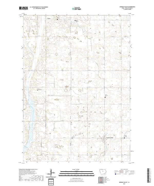
1972 German Valley
Kossuth County, IA
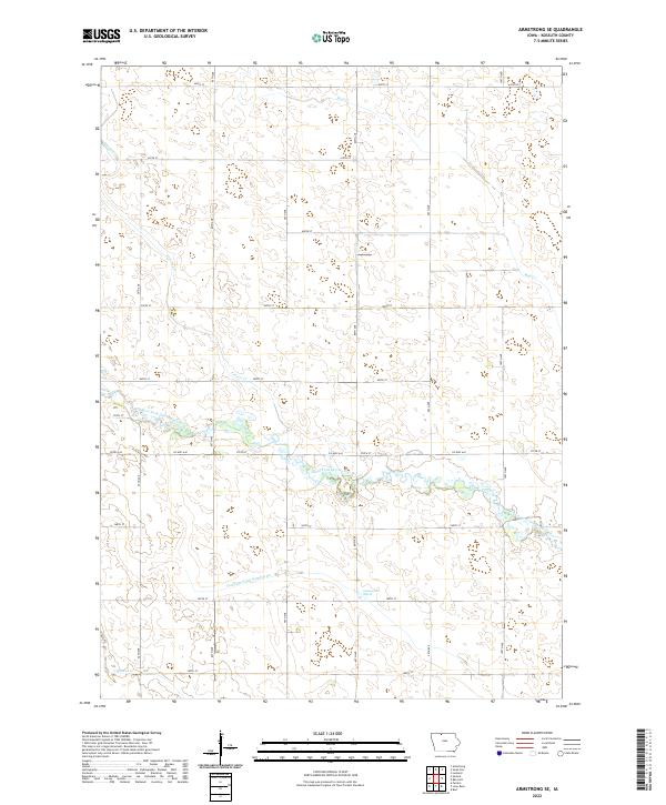
1980 Armstrong SE
Kossuth County, IA
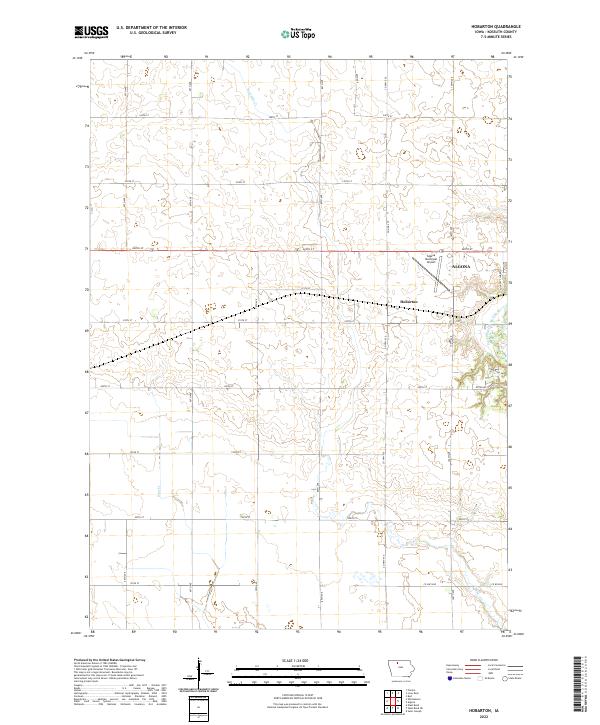
1980 Hobarton
Kossuth County, IA
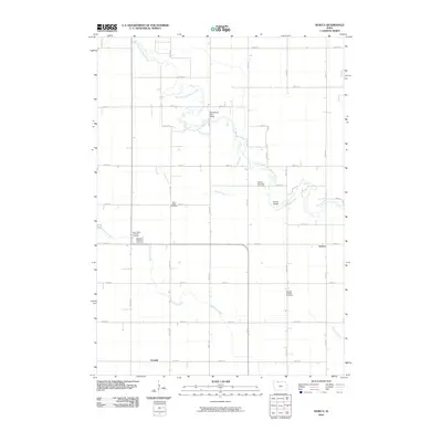
1980 Seneca
Kossuth County, IA
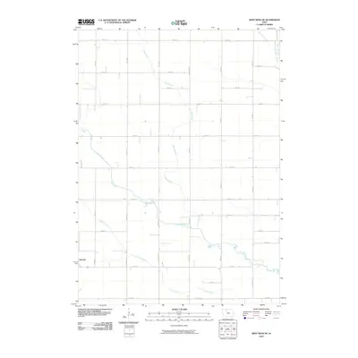
1980 West Bend NE
Kossuth County, IA
2010 Armstrong SE
Kossuth County, IA
2010 German Valley
Kossuth County, IA
2010 Hobarton
Kossuth County, IA
2010 Saint Joseph
Kossuth County, IA
2010 Seneca
Kossuth County, IA
2010 West Bend NE
Kossuth County, IA
2013 Armstrong SE
Kossuth County, IA
2013 German Valley
Kossuth County, IA
2013 Hobarton
Kossuth County, IA
2013 Saint Joseph
Kossuth County, IA
2013 Seneca
Kossuth County, IA
2013 West Bend NE
Kossuth County, IA
2015 Armstrong SE
Kossuth County, IA
2015 German Valley
Kossuth County, IA
2015 Hobarton
Kossuth County, IA
2015 Saint Joseph
Kossuth County, IA
2015 Seneca
Kossuth County, IA
2015 West Bend NE
Kossuth County, IA
2018 Armstrong SE
Kossuth County, IA
2018 German Valley
Kossuth County, IA
2018 Hobarton
Kossuth County, IA
2018 Saint Joseph
Kossuth County, IA
2018 Seneca
Kossuth County, IA
2018 West Bend NE
Kossuth County, IA
2022 Armstrong SE
Kossuth County, IA
2022 German Valley
Kossuth County, IA
2022 Hobarton
Kossuth County, IA
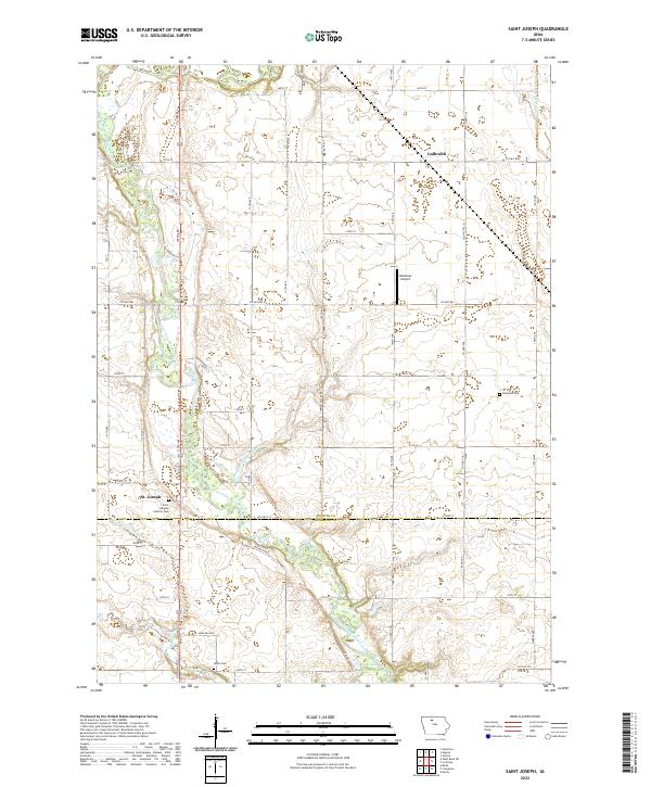
2022 Saint Joseph
Kossuth County, IA
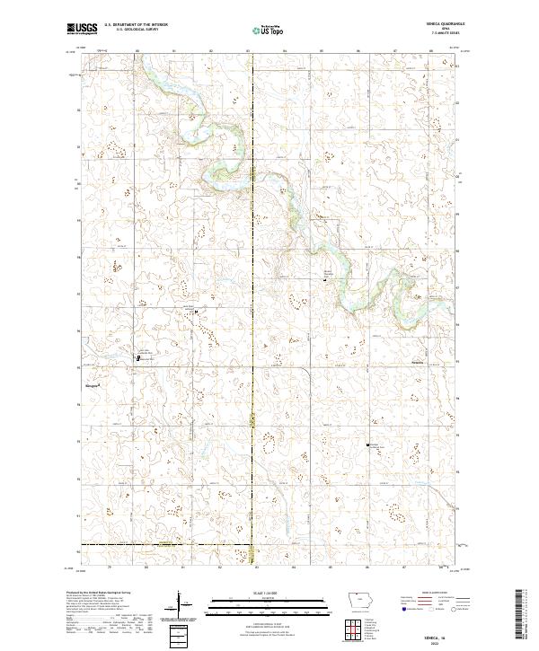
2022 Seneca
Kossuth County, IA
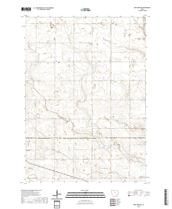
2022 West Bend NE
Kossuth County, IA