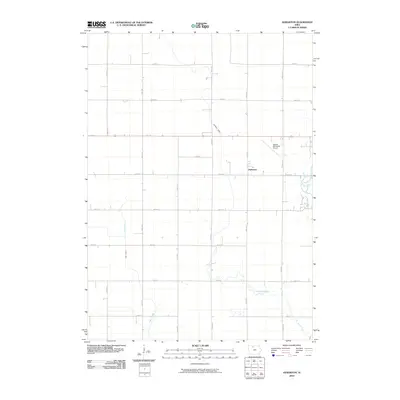
2010 Map of Hobarton
USGS Topo · Published 2010About this map
Hobarton anchors this agricultural landscape in Kossuth County, representing a quiet pocket of the Iowa heartland as it appeared in the early 21st century. The terrain is defined by a precise grid of rural roads, including 50th Ave and 240th St, which partition the fertile plains around the East Fork Des Moines River. This river corridor, along with Fourmile Creek and Hine Creek, provides the only significant break in the geometric order of the section lines. This period shows the coexistence of traditional farming infrastructure with modern aviation, as evidenced by the Algona Municipal Airport situated just northwest of the main settlement area. The map serves as a detailed record of land divisions and drainage patterns that have shaped the local economy for generations.
Find a feature on this map
22 named features on this map. Tap any name to fly to it.
Don’t see what you’re looking for? This feature index may not catch every label — zoom into the map to look around manually.
Map Details
Editions of this 2010 Hobarton Map
This is the sole edition of this map. No revisions or reprints were ever made.
Other maps of this area

1954 · Fairmont
USGS Topo · 1:250,000

1954 · Fort Dodge
USGS Topo · 1:250,000

1957 · Fort Dodge
USGS Topo · 1:250,000

1958 · Fort Dodge
USGS Topo · 1:250,000

1958 · Fairmont
USGS Topo · 1:250,000

1972 · Algona
USGS Topo · 1:24,000

1972 · St. Joseph
USGS Topo · 1:24,000

1972 · Burt
USGS Topo · 1:24,000

1980 · Lone Rock
USGS Topo · 1:24,000

1980 · Fenton
USGS Topo · 1:24,000