
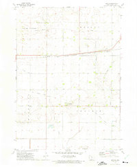
1972 Map of Burt
USGS Topo · Published 1975About this map
The town of Burt serves as a central hub on this northern Iowa landscape, where the Chicago and North Western railroad bisects the prairie. The topography is defined by the winding course of the East Fork Des Moines River and its various tributaries, including Plum Creek and Lindsey Creek. Significant conservation efforts are evident through the Union Slough National Wildlife Refuge and the Buffalo Creek State Game Management Area, highlighting the region's managed natural resources.
Find a feature on this map
29 named features on this map. Tap any name to fly to it.
Don’t see what you’re looking for? This feature index may not catch every label — zoom into the map to look around manually.
Map Details
Editions of this 1972 Burt Map
This is the sole edition of this map. No revisions or reprints were ever made.
Other maps of this area

1954 · Fairmont
USGS Topo · 1:250,000

1958 · Fairmont
USGS Topo · 1:250,000

1972 · German Valley
USGS Topo · 1:24,000

1972 · Algona
USGS Topo · 1:24,000

1972 · Bancroft
USGS Topo · 1:24,000

1972 · Titonka
USGS Topo · 1:24,000
1972 · Sexton
USGS Topo · 1:24,000

1980 · Lone Rock
USGS Topo · 1:24,000

1980 · Armstrong SE
USGS Topo · 1:24,000

1980 · Hobarton
USGS Topo · 1:24,000