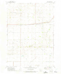
1972 Map of Sexton
USGS Topo · Published 1975About this map
The unincorporated community of Sexton serves as a focal point in this agricultural landscape of Kossuth County, Iowa. Situated along the Chicago Milwaukee St Paul and Pacific railroad, the town's grid reflects the transit-oriented development of the Midwest. Further south, the settlement of St Benedict anchors the central part of the sheet, while an Old Railroad Grade indicates the shifting transportation priorities of the twentieth century.
Find a feature on this map
17 named features on this map. Tap any name to fly to it.
Don’t see what you’re looking for? This feature index may not catch every label — zoom into the map to look around manually.
Map Details
Editions of this 1972 Sexton Map
This is the sole edition of this map. No revisions or reprints were ever made.
Other maps of this area

1954 · Fairmont
USGS Topo · 1:250,000

1954 · Mason City
USGS Topo · 1:250,000

1954 · Waterloo
USGS Topo · 1:250,000

1954 · Fort Dodge
USGS Topo · 1:250,000

1955 · Waterloo
USGS Topo · 1:250,000

1957 · Fort Dodge
USGS Topo · 1:250,000

1957 · Mason City
USGS Topo · 1:250,000

1958 · Mason City
USGS Topo · 1:250,000

1958 · Fort Dodge
USGS Topo · 1:250,000

1958 · Fairmont
USGS Topo · 1:250,000