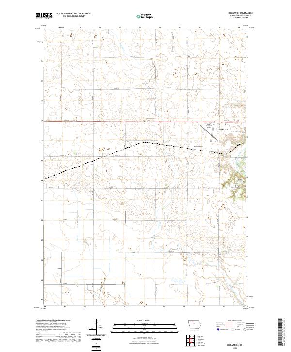
2022 Map of Hobarton
USGS Topo · Published 2022About this map
Algona and the small settlement of Hobarton anchor this agricultural landscape in Kossuth County, where the grid-based township system is clearly defined by a network of rural roads like 240th St and 100th Ave. The terrain is characterized by the meandering path of the East Fork Des Moines River, which flows through the eastern portion of the quadrangle. This watercourse creates a natural break in the otherwise orderly section lines of t96n r29w and t95n r29w.
Find a feature on this map
31 named features on this map. Tap any name to fly to it.
Don’t see what you’re looking for? This feature index may not catch every label — zoom into the map to look around manually.
Map Details
Editions of this 2022 Hobarton Map
This is the sole edition of this map. No revisions or reprints were ever made.
Other maps of this area

1954 · Fairmont
USGS Topo · 1:250,000

1954 · Fort Dodge
USGS Topo · 1:250,000

1957 · Fort Dodge
USGS Topo · 1:250,000

1958 · Fort Dodge
USGS Topo · 1:250,000

1958 · Fairmont
USGS Topo · 1:250,000

1972 · Algona
USGS Topo · 1:24,000

1972 · St. Joseph
USGS Topo · 1:24,000

1972 · Burt
USGS Topo · 1:24,000

1980 · Lone Rock
USGS Topo · 1:24,000

1980 · Fenton
USGS Topo · 1:24,000