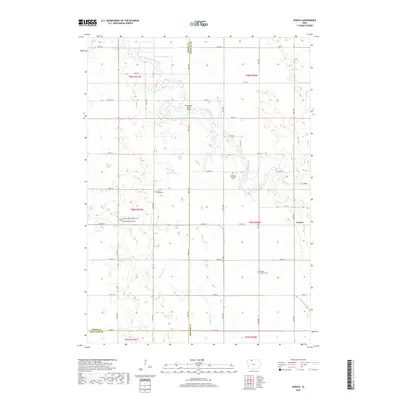
2018 Map of Seneca
USGS Topo · Published 2018About this map
The East Fork Des Moines River winds through the northern half of this Iowa landscape, crossing the county line where the Des Moines River Bridge serves as a key local crossing. The area is characterized by a high concentration of burial grounds that reflect the heritage of early northern Iowa settlers, particularly the Lutheran community. Genealogists and local historians can find the Saint Johns Lutheran Cem, Ringsted Memorial Cem, and Blackjar Lutheran Cem spaced across the rural sections.
Find a feature on this map
46 named features on this map. Tap any name to fly to it.
Don’t see what you’re looking for? This feature index may not catch every label — zoom into the map to look around manually.
Map Details
Editions of this 2018 Seneca Map
This is the sole edition of this map. No revisions or reprints were ever made.
Other maps of this area

1954 · Fairmont
USGS Topo · 1:250,000

1958 · Fairmont
USGS Topo · 1:250,000

1980 · Lone Rock
USGS Topo · 1:24,000

1980 · Fenton
USGS Topo · 1:24,000

1980 · Depew
USGS Topo · 1:24,000

1980 · Seneca
USGS Topo · 1:24,000

1980 · Armstrong
USGS Topo · 1:24,000

1980 · Ringsted
USGS Topo · 1:24,000

1980 · Swea City
USGS Topo · 1:24,000

1980 · Armstrong SE
USGS Topo · 1:24,000