Old Maps of Ottosen, Iowa
Explore 16 old maps of Ottosen, spanning from 1954 to today. These high-resolution historic maps reveal how streets, neighborhoods, landmarks, and natural features evolved over time — perfect for genealogy, metal detecting, research, and local history exploration.
What you can do with these maps:
- See how Ottosen changed over time: Compare historical maps to modern-day views to trace roads, homesites, rail lines & more.
- View detailed metadata: Each map includes creators, publishers, year, scale, and archive source.
- Overlay maps with satellite & LiDAR: Visualize the past alongside modern tools to explore terrain & human change.
- Trusted historical sources: Maps sourced from the USGS, Library of Congress, and other archives.
- Access maps your way: View online, download high-res files, or order prints for personal or research use.
Start exploring old maps of Ottosen to uncover forgotten places, hidden landmarks, and the deep history beneath your feet.
Ottosen, IA maps
(16)- 1954 Map of Fort Dodge, 1968 Print
 1954 Fort Dodge1968 Print · USGSNorthwest Iowa is shown here during a period of steady industrial and rail activity in the mid-fifties. Researchers can trace the extensive rail lines connecting Fort Dodge to mining and manufacturing sites like Gypsum and Industry Station.3 unique versions available
 - 1957 Map of Fort Dodge
 1957 Fort Dodge1957 Print · USGSWest-central Iowa thrived as a network of rail-linked agricultural hubs and river towns during the mid-fifties. Researchers can trace the development of the Des Moines River valley and locate historic landmarks in Fort Dodge, Storm Lake, and Lehigh.
 - 1958 Map of Fort Dodge
 1958 Fort Dodge1958 Print · USGSWestern Iowa in the mid-1950s reveals a productive landscape of river-valley industry and prairie agricultural hubs. Researchers can trace the development of the Des Moines River corridor through Fort Dodge and locate vanished local landmarks near Coalville or Storm Lake.
 - 1980 Map of West Bend, 1981 Print
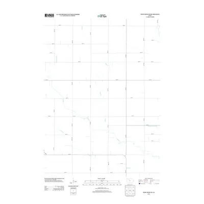
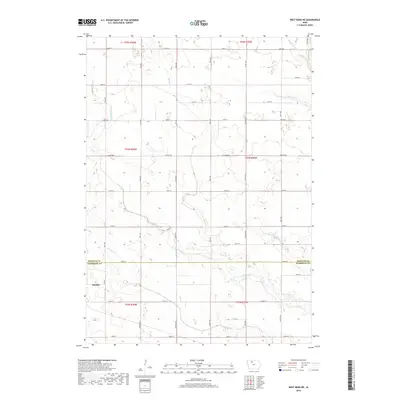
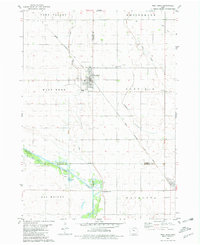 1980 West Bend1981 Print · USGSWest Bend and its surrounding farmsteads are shown during the early 1980s at the junction of four Iowa counties. Researchers can trace the Chicago Rock Island and Pacific rail line between West Bend and Ottosen or locate family sites near McKnights Point and Union Cem.
 - 1980 Map of West Bend NE, 1981 Print
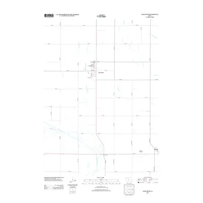
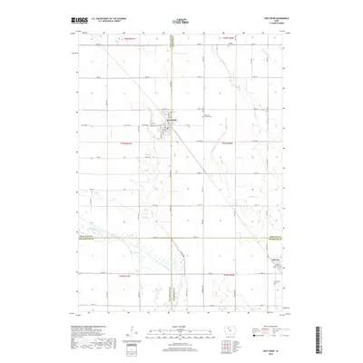
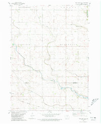 1980 West Bend NE1981 Print · USGSNorth-central Iowa farmland is captured here in the early eighties, showing the transition between Kossuth and Humboldt counties. Genealogists and rail historians can trace the Chicago Rock Island and Pacific line through Ottosen and find local landmarks like the Townhall in Riverdale.
 - 1984 Map of Humboldt, 1985 Print
 1984 Humboldt1985 Print · USGSNorth Central Iowa in the mid-eighties shows a deeply integrated landscape of agricultural drainage and rail-connected settlements. Trace the rural layout of the era via the Chicago and North Western line, Rush Lake, and Lizard Lake County Park.2 unique versions available
 - 2010 Map of West Bend, 2010 Print
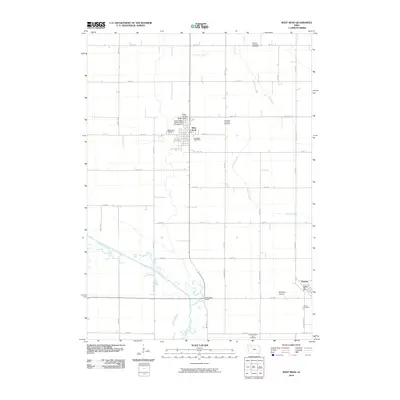 2010 West Bend2010 Print · USGSCovers Ottosen, including West Bend, Kossuth County, and other nearby areas
 - 2010 Map of West Bend NE, 2010 Print
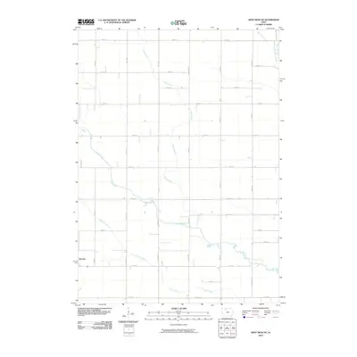 2010 West Bend NE2010 Print · USGSCovers Ottosen, including Kossuth County, Humboldt County, and other nearby areas
 - 2013 Map of West Bend NE, 2013 Print
 2013 West Bend NE2013 Print · USGSCovers Ottosen, including Kossuth County, Humboldt County, and other nearby areas
 - 2013 Map of West Bend, 2013 Print
 2013 West Bend2013 Print · USGSCovers Ottosen, including West Bend, Kossuth County, and other nearby areas
 - 2015 Map of West Bend, 2015 Print
 2015 West Bend2015 Print · USGSCovers Ottosen, including West Bend, Kossuth County, and other nearby areas
 - 2015 Map of West Bend NE, 2015 Print
 2015 West Bend NE2015 Print · USGSCovers Ottosen, including Kossuth County, Humboldt County, and other nearby areas
 - 2018 Map of West Bend NE, 2018 Print
 2018 West Bend NE2018 Print · USGSCovers Ottosen, including Kossuth County, Humboldt County, and other nearby areas
 - 2018 Map of West Bend, 2018 Print
 2018 West Bend2018 Print · USGSCovers Ottosen, including West Bend, Kossuth County, and other nearby areas
 - 2022 Map of West Bend, 2022 Print
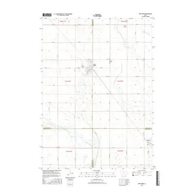
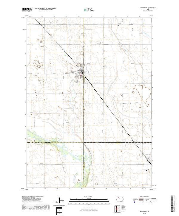 2022 West Bend2022 Print · USGSModern agriculture and early settlement patterns meet in this Iowa landscape during the early 2020s. Genealogists and historians can trace cemetery locations like Garfield Township Cemetery and old watercourses such as the Des Moines River.
 - 2022 Map of West Bend NE, 2022 Print
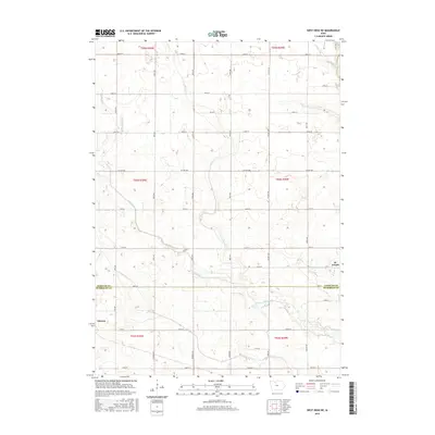
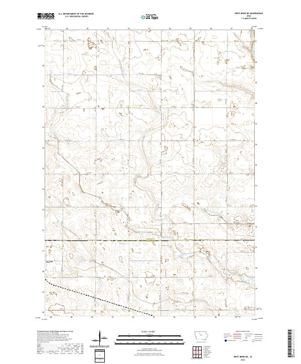 2022 West Bend NE2022 Print · USGSThe borderlands of Kossuth and Humboldt Counties are shown here during the twenty-first century, highlighting a landscape of highly engineered prairie drainage. Genealogists and local historians can trace the rural grid around Ottosen and the paths of Lotts Creek and Trulner Cr.
End of results
Showing maps 1-16 of 16
Top cities near Ottosen
- Algona historical maps
- Humboldt historical maps
- West Bend historical maps
- Dakota City historical maps
- Rolfe historical maps
- Whittemore historical maps
See more
Frequently asked questions
- What are the different types of historical maps available for Ottosen?
- What is the oldest map of Ottosen?
- Where can I purchase historical maps of Ottosen for my home or office?
- Where can I download high-res historical maps of Ottosen?
- Are there historical topographic maps available for Ottosen?
- Is there historical aerial imagery available for Ottosen?
- Where are historical maps of Ottosen sourced from?