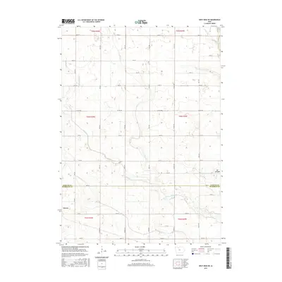
2015 Map of West Bend NE
USGS Topo · Published 2015About this map
The town of Ottosen and the small settlement of St. Joseph anchor this agricultural landscape along the northern edge of Humboldt County. The terrain is defined by a dense network of watercourses and engineered drainage systems, including Lotts Creek, Trulner Cr, and Potts Creek, which reveal the intensive land management required for farming in this region. The map illustrates a strictly surveyed grid of rural roads, such as Co Hwy B63 and 100th St, that cross the county line between Kossuth and Humboldt Counties. The presence of Ditch Number 79 and Drainage Ditch Number 8 highlights the historic efforts to reclaim and maintain the prairie soil for cultivation, creating a functional, structured environment where every section is accessible by road.
Find a feature on this map
27 named features on this map. Tap any name to fly to it.
Don’t see what you’re looking for? This feature index may not catch every label — zoom into the map to look around manually.
Map Details
Editions of this 2015 West Bend NE Map
This is the sole edition of this map. No revisions or reprints were ever made.
Other maps of this area

1954 · Fairmont
USGS Topo · 1:250,000

1954 · Fort Dodge
USGS Topo · 1:250,000

1957 · Fort Dodge
USGS Topo · 1:250,000

1958 · Fort Dodge
USGS Topo · 1:250,000

1958 · Fairmont
USGS Topo · 1:250,000

1972 · Algona
USGS Topo · 1:24,000

1972 · St. Joseph
USGS Topo · 1:24,000

1972 · Livermore
USGS Topo · 1:24,000

1980 · Hobarton
USGS Topo · 1:24,000

1980 · West Bend
USGS Topo · 1:24,000