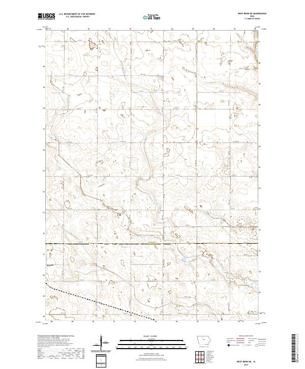
2022 Map of West Bend NE
USGS Topo · Published 2022About this map
The town of Ottosen sits in the southwestern corner of this agricultural survey, marking the transition from Humboldt County into Kossuth County. The landscape is defined by an extensive network of water management features, including Drainage Ditch Number 79 and Drainage Ditch Number 8, which support the intensive farming grid of north-central Iowa. These engineered waterways feed into natural systems like Lotts Creek and Trulner Cr, illustrating how the prairie wetlands were systematically drained to create productive cropland.
Find a feature on this map
37 named features on this map. Tap any name to fly to it.
Don’t see what you’re looking for? This feature index may not catch every label — zoom into the map to look around manually.
Map Details
Editions of this 2022 West Bend NE Map
This is the sole edition of this map. No revisions or reprints were ever made.
Other maps of this area

1954 · Fairmont
USGS Topo · 1:250,000

1954 · Fort Dodge
USGS Topo · 1:250,000

1957 · Fort Dodge
USGS Topo · 1:250,000

1958 · Fort Dodge
USGS Topo · 1:250,000

1958 · Fairmont
USGS Topo · 1:250,000

1972 · Algona
USGS Topo · 1:24,000

1972 · St. Joseph
USGS Topo · 1:24,000

1972 · Livermore
USGS Topo · 1:24,000

1980 · Hobarton
USGS Topo · 1:24,000

1980 · West Bend
USGS Topo · 1:24,000