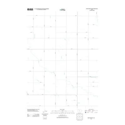
2013 Map of West Bend NE
USGS Topo · Published 2013About this map
Lotts Cr and its tributaries define the rural landscape of this Humboldt County region, where the natural watercourses have been heavily modified for agricultural development. The persistence of the township-and-range survey system is evident in the precise grid of secondary roads such as 130th St and 80th Ave, which partition the fertile plains into predictable squares. To manage the prairie hydrology, extensive civil engineering projects like Ditch Number 79 and Drainage Ditch Number 8 were established to channel water away from the productive farmland. These man-made alterations exist alongside the meandering paths of Trulner Cr and Hine Cr, illustrating the transition from a wild prairie to a highly structured industrial agricultural environment during the early 21st century.
Find a feature on this map
31 named features on this map. Tap any name to fly to it.
Don’t see what you’re looking for? This feature index may not catch every label — zoom into the map to look around manually.
Map Details
Editions of this 2013 West Bend NE Map
This is the sole edition of this map. No revisions or reprints were ever made.
Other maps of this area

1954 · Fairmont
USGS Topo · 1:250,000

1954 · Fort Dodge
USGS Topo · 1:250,000

1957 · Fort Dodge
USGS Topo · 1:250,000

1958 · Fort Dodge
USGS Topo · 1:250,000

1958 · Fairmont
USGS Topo · 1:250,000

1972 · Algona
USGS Topo · 1:24,000

1972 · St. Joseph
USGS Topo · 1:24,000

1972 · Livermore
USGS Topo · 1:24,000

1980 · Hobarton
USGS Topo · 1:24,000

1980 · West Bend
USGS Topo · 1:24,000