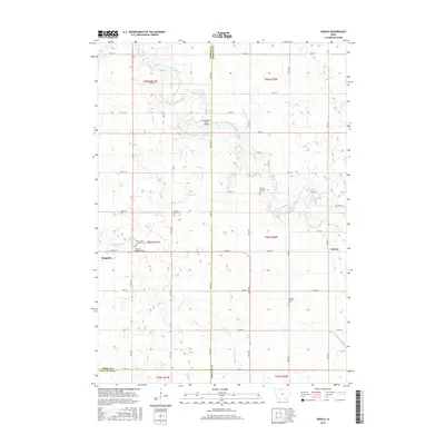
2015 Map of Seneca
USGS Topo · Published 2015About this map
The East Fork Des Moines River winds through this section of northern Iowa, defining a landscape of agriculture and small-town settlement along the border of Emmet and Kossuth Counties. Near the western edge, the town of Ringsted serves as a primary hub, flanked by the Ringsted Memorial Cem and Saint Johns Lutheran Cem. The terrain is characterized by a dense network of sectional roads and natural drainage, with Black Cat Cr and Crooked Run feeding into the main river valley.
Find a feature on this map
53 named features on this map. Tap any name to fly to it.
Don’t see what you’re looking for? This feature index may not catch every label — zoom into the map to look around manually.
Map Details
Editions of this 2015 Seneca Map
This is the sole edition of this map. No revisions or reprints were ever made.
Other maps of this area

1954 · Fairmont
USGS Topo · 1:250,000

1958 · Fairmont
USGS Topo · 1:250,000

1980 · Lone Rock
USGS Topo · 1:24,000

1980 · Fenton
USGS Topo · 1:24,000

1980 · Depew
USGS Topo · 1:24,000

1980 · Seneca
USGS Topo · 1:24,000

1980 · Armstrong
USGS Topo · 1:24,000

1980 · Ringsted
USGS Topo · 1:24,000

1980 · Swea City
USGS Topo · 1:24,000

1980 · Armstrong SE
USGS Topo · 1:24,000