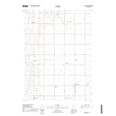
2018 Map of German Valley
USGS Topo · Published 2018About this map
Lakota serves as the primary hub in this corner of northern Iowa, where the prairie has been transformed into a highly organized agricultural grid. The landscape is defined by its sophisticated water management systems, including Drainage Ditch Number 80 and Drainage Ditch Number 90, which weave through natural lowlands like Dismal Swamp and various namesake pools such as Pierce Pool and Gabrielson Pool. These features illustrate the decades of effort required to stabilize the fertile ground for farming.
Find a feature on this map
43 named features on this map. Tap any name to fly to it.
Don’t see what you’re looking for? This feature index may not catch every label — zoom into the map to look around manually.
Map Details
Editions of this 2018 German Valley Map
This is the sole edition of this map. No revisions or reprints were ever made.
Other maps of this area

1954 · Fairmont
USGS Topo · 1:250,000

1954 · Mason City
USGS Topo · 1:250,000

1957 · Mason City
USGS Topo · 1:250,000

1958 · Mason City
USGS Topo · 1:250,000

1958 · Fairmont
USGS Topo · 1:250,000
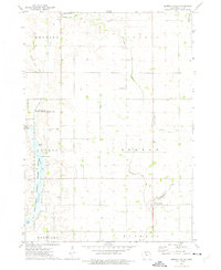
1972 · German Valley
USGS Topo · 1:24,000
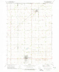
1972 · Buffalo Center
USGS Topo · 1:24,000
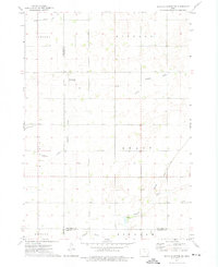
1972 · Buffalo Center SW
USGS Topo · 1:24,000
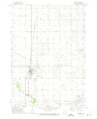
1972 · Bancroft
USGS Topo · 1:24,000
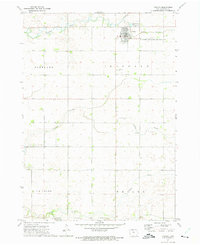
1972 · Titonka
USGS Topo · 1:24,000