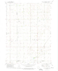
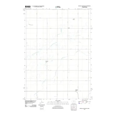
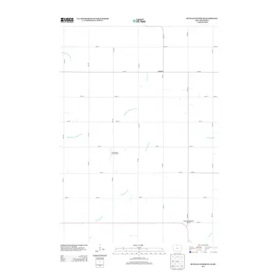
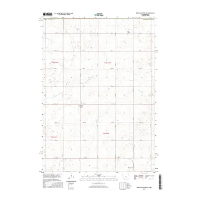
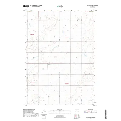
1972 Map of Buffalo Center SW
USGS Topo · Published 1975About this map
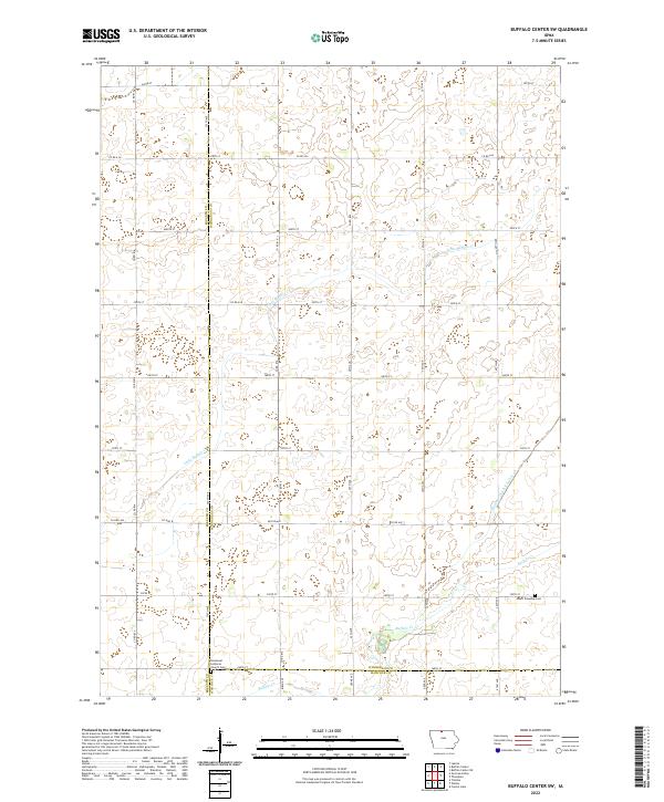
The settlement of Woden serves as the primary hub in this agricultural landscape on the border of Winnebago and Hancock counties. This early 1970s survey illustrates a region defined by an extensive water management system, where Little Buffalo Creek is augmented by engineered features such as Drainage Ditch No 1, Drainage Ditch No 48, and Drainage Ditch No 90. These improvements transformed the prairie into productive farmland organized by the townships of Lincoln, German, and Grant.
Find a feature on this map
17 named features on this map. Tap any name to fly to it.
Don’t see what you’re looking for? This feature index may not catch every label — zoom into the map to look around manually.
Map Details
Editions of this 1972 Buffalo Center SW Map
This is the sole edition of this map. No revisions or reprints were ever made.
Historical Maps of Kossuth County Through Time
24 maps found
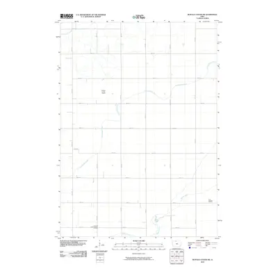
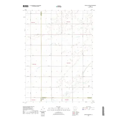
1972 Buffalo Center NE
Winnebago County, IA
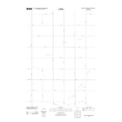
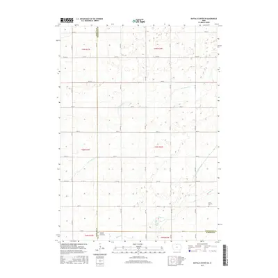
1972 Buffalo Center SW
Winnebago County, IA
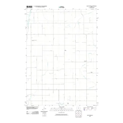
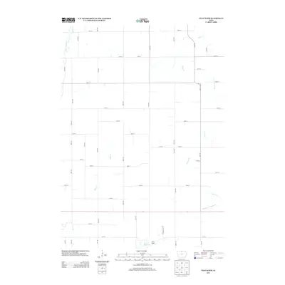
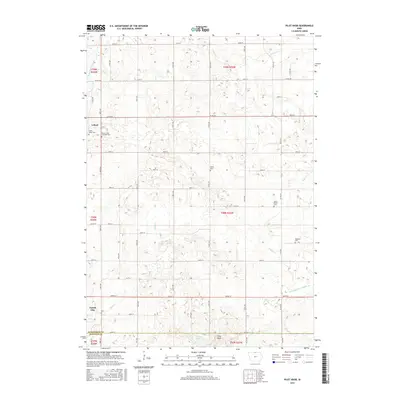
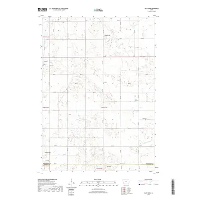
1972 Pilot Knob
Winnebago County, IA
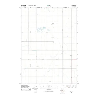
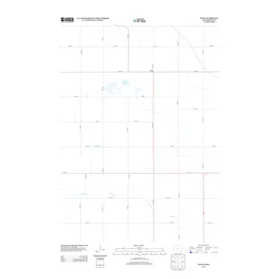
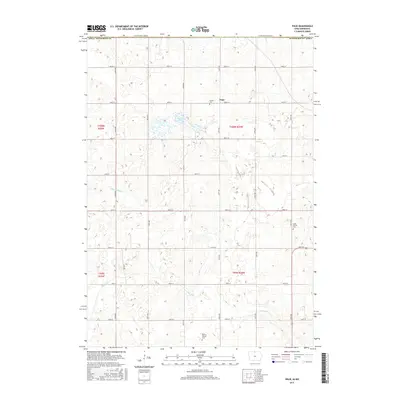
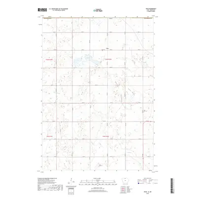
1972 Vinje
Winnebago County, IA
2010 Buffalo Center NE
Winnebago County, IA
2010 Buffalo Center SW
Winnebago County, IA
2010 Pilot Knob
Winnebago County, IA
2010 Vinje
Winnebago County, IA
2013 Buffalo Center NE
Winnebago County, IA
2013 Buffalo Center SW
Winnebago County, IA
2013 Pilot Knob
Winnebago County, IA
2013 Vinje
Winnebago County, IA
2015 Buffalo Center NE
Winnebago County, IA
2015 Buffalo Center SW
Winnebago County, IA
2015 Pilot Knob
Winnebago County, IA
2015 Vinje
Winnebago County, IA
2018 Buffalo Center NE
Winnebago County, IA
2018 Buffalo Center SW
Winnebago County, IA
2018 Pilot Knob
Winnebago County, IA
2018 Vinje
Winnebago County, IA
2022 Buffalo Center NE
Winnebago County, IA
2022 Buffalo Center SW
Winnebago County, IA
2022 Pilot Knob
Winnebago County, IA
2022 Vinje
Winnebago County, IA