Old Maps of Winnebago County, Iowa
Explore 64 old maps of Winnebago County, spanning from 1954 to today. These high-resolution historic maps reveal how streets, neighborhoods, landmarks, and natural features evolved over time — perfect for genealogy, metal detecting, research, and local history exploration.
What you can do with these maps:
- See how Winnebago County changed over time: Compare historical maps to modern-day views to trace roads, homesites, rail lines & more.
- View detailed metadata: Each map includes creators, publishers, year, scale, and archive source.
- Overlay maps with satellite & LiDAR: Visualize the past alongside modern tools to explore terrain & human change.
- Trusted historical sources: Maps sourced from the USGS, Library of Congress, and other archives.
- Access maps your way: View online, download high-res files, or order prints for personal or research use.
Start exploring old maps of Winnebago County to uncover forgotten places, hidden landmarks, and the deep history beneath your feet.
Winnebago County, IA maps
(64)- 1954 Map of Mason City, 1967 Print
 1954 Mason City1967 Print · USGSSouthern Minnesota and northern Iowa are shown here at the height of the mid-century rail era, centered on the regional hubs of Mason City and Rochester. Researchers can trace the vanished paths of the Chicago Great Western and find local landmarks like Pilot Knob and Bear Lake.2 unique versions available
 - 1957 Map of Mason City
 1957 Mason City1957 Print · USGSThe Minnesota-Iowa border region comes alive in this mid-century survey, from the industrial plants of Mason City to the medical hub of Rochester. Researchers can trace the rail-and-river economy through the Chicago Great Western Railway and the Shell Rock River.
 - 1958 Map of Mason City
 1958 Mason City1958 Print · USGSSouthern Minnesota and northern Iowa are shown during the mid-fifties when railroads still anchored the regional economy. Genealogists and historians can trace the intricate rail networks of the Illinois Central and find local landmarks in Mason City, Albert Lea, and Austin.
 - 1972 Map of Buffalo Center, 1975 Print
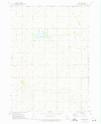
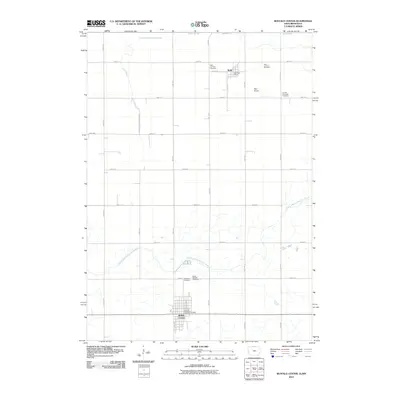
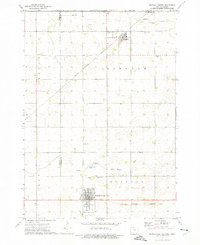 1972 Buffalo Center1975 Print · USGSWinnebago County agriculture and small-town life are centered around Buffalo Center and Rake during the early seventies. Genealogists can locate several local burial grounds, including Olena Mound Cem and Township Cem, while following the path of the Chicago Rock Island and Pacific railroad.
 - 1972 Map of Buffalo Center SW, 1975 Print
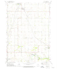
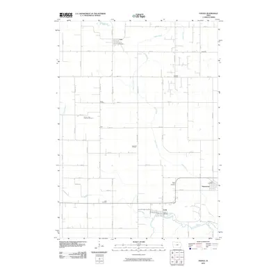
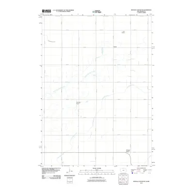
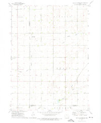 1972 Buffalo Center SW1975 Print · USGSNorth-central Iowa farmland is captured here in the early seventies, centered on the community of Woden. Researchers can trace rural property lines and drainage networks or locate local landmarks like Immanuel Ch, Township Cem, and two private landing strips.
 - 1972 Map of Forest City, 1975 Print
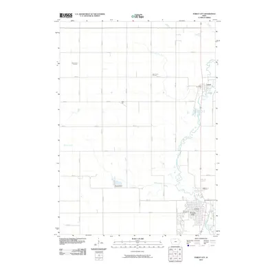
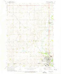 1972 Forest City1975 Print · USGSWinnebago County in the early seventies shows a landscape shaped by the Winnebago River and the intersection of two major rail lines. Researchers can trace rural genealogy and local industry through features like West Prairie Ch, Neils Spur, and Oakland Cem.
 - 1972 Map of Buffalo Center NE, 1975 Print
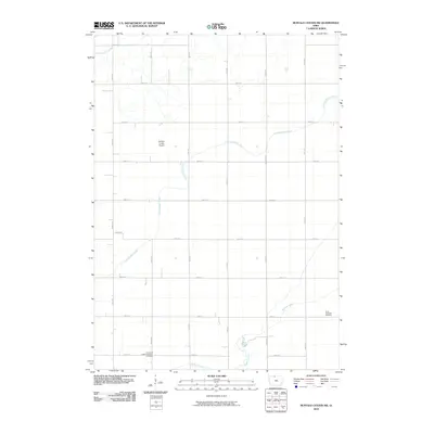
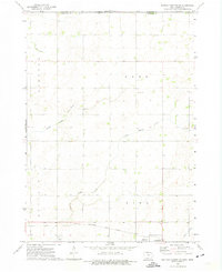 1972 Buffalo Center NE1975 Print · USGSWinnebago County farm country is captured here in the early 1970s as the rail and road networks of northern Iowa reached their modern form. Researchers can trace the CHICAGO ROCK ISLAND AND PACIFIC tracks through Thompson or locate local landmarks like Trinity Ch and Florence Park.
 - 1972 Map of Fertile, 1975 Print
 1972 Fertile1975 Print · USGSWorth County farming communities and the rail corridor are captured here during the early seventies. Genealogists and local historians can locate family sites near Elim Cem, Hanlontown, and the Chicago and North Western tracks.
 - 1972 Map of Bristol, 1975 Print
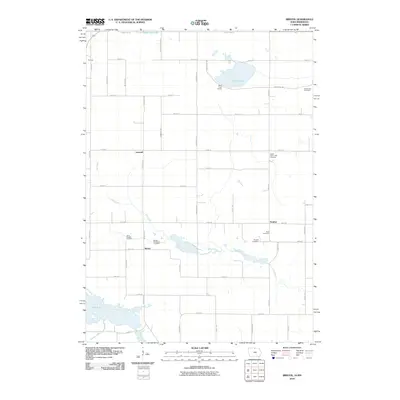
 1972 Bristol1975 Print · USGSWorth County and the Minnesota border come alive in the early seventies, showing a landscape of managed marshes and rail-connected settlements. Trace the rural community through St Patricks Cem, the village of Emmons, and the Bristol Ch.
 - 1972 Map of Pilot Knob, 1975 Print
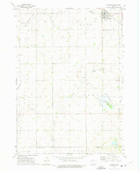
 1972 Pilot Knob1975 Print · USGSNorthern Iowa's glacial topography and rural townships are captured here in the early seventies, spanning the border of Winnebago and Hancock counties. Genealogists and researchers can locate family-named sites such as Forest Home Cem, the Winnebago Ch, and the landmark Pilot Knob summit.2 unique versions available
 - 1972 Map of Vinje, 1975 Print
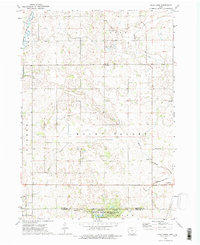
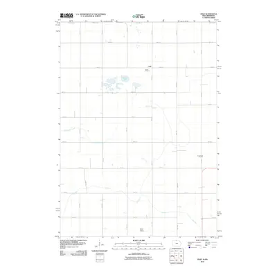
 1972 Vinje1975 Print · USGSWinnebago County farmsteads and glacial lakes define this borderland region in the early seventies. Genealogists can locate rural landmarks like Bethel Ch, North Prairie Ch, and the small settlement of Vinje along the Chicago and North Western tracks.
 - 1972 Map of Thompson, 1975 Print
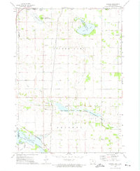
 1972 Thompson1975 Print · USGSThompson sits at a vital railroad junction in the early 1970s, surrounded by a productive landscape of gridded townships and creek-fed wetlands. Researchers can trace rural lineages through markers like Rose Hill Cem, Grant Ch, and the Myre Slough State Game Management Area.
 - 1972 Map of Lake Mills, 1975 Print
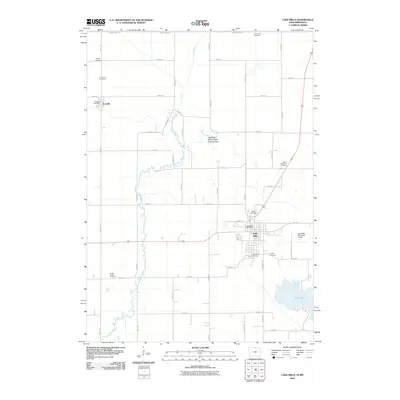
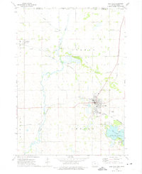 1972 Lake Mills1975 Print · USGSLake Mills and the surrounding Winnebago County prairie are captured here in the early seventies as a productive agricultural and rail landscape. Genealogists and local historians can trace the locations of family plots at Sunnyside Cem and Oak Lawn Cem, or locate landmarks like the Lake Mills Airport and the Chicago and North Western tracks.
 - 1985 Map of Mason City
 1985 Mason City1985 Print · USGSThe Northern Iowa and Southern Minnesota borderlands are captured here in the mid-eighties, showing a region defined by agricultural drainage and rail heritage. Genealogists and historians can trace the grid of rural townships and find local landmarks like Pilot Knob State Park, Nora Springs, and Clear Lake State Park.2 unique versions available
 - 2010 Map of Thompson, 2010 Print
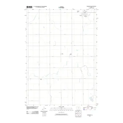 2010 Thompson2010 Print · USGSCovers Winnebago County, including Thompson, Hancock County, and other nearby areas
 - 2010 Map of Pilot Knob, 2010 Print
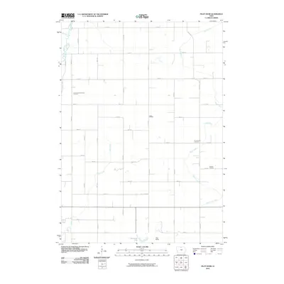 2010 Pilot Knob2010 Print · USGSCovers Winnebago County, including Forest City, Leland, and other nearby areas
 - 2010 Map of Forest City, 2010 Print
 2010 Forest City2010 Print · USGSCovers Winnebago County, including Forest City, Leland, and other nearby areas
 - 2010 Map of Fertile, 2010 Print
 2010 Fertile2010 Print · USGSCovers Winnebago County, including Fertile, Joice, and other nearby areas
 - 2010 Map of Buffalo Center SW, 2010 Print
 2010 Buffalo Center SW2010 Print · USGSCovers Winnebago County, including Kossuth County, Hancock County, and other nearby areas
 - 2010 Map of Lake Mills, 2010 Print
 2010 Lake Mills2010 Print · USGSCovers Winnebago County, including Lake Mills, Scarville, and other nearby areas
 - 2010 Map of Buffalo Center, 2010 Print
 2010 Buffalo Center2010 Print · USGSCovers Winnebago County, including Buffalo Center, Rake, and other nearby areas
 - 2010 Map of Bristol, 2010 Print
 2010 Bristol2010 Print · USGSCovers Winnebago County, including Emmons, Somber, and other nearby areas
 - 2010 Map of Buffalo Center NE, 2010 Print
 2010 Buffalo Center NE2010 Print · USGSCovers Winnebago County, including Thompson, Amund, and other nearby areas
 - 2010 Map of Vinje, 2010 Print
 2010 Vinje2010 Print · USGSCovers Winnebago County, including Vinje, Freeborn County, and other nearby areas
 - 2013 Map of Buffalo Center, 2013 Print
 2013 Buffalo Center2013 Print · USGSCovers Winnebago County, including Buffalo Center, Rake, and other nearby areas
Showing maps 1-25 of 64
Top cities of Winnebago County
- Lake Mills historical maps
- Buffalo Center historical maps
- Thompson historical maps
- Leland historical maps
- Rake historical maps
- Scarville historical maps
Frequently asked questions
- What are the different types of historical maps available for Winnebago County?
- What is the oldest map of Winnebago County?
- Where can I purchase historical maps of Winnebago County for my home or office?
- Where can I download high-res historical maps of Winnebago County?
- Are there historical topographic maps available for Winnebago County?
- Is there historical aerial imagery available for Winnebago County?
- Where are historical maps of Winnebago County sourced from?