Old Maps of Winnebago County, Iowa for Metal Detecting
Plan your next treasure hunt with 24 historic maps of Winnebago County. Find old homesites, ghost towns, trails, and gathering spots that may be lost to time — perfect for identifying promising metal detecting locations.
- Locate forgotten sites: Uncover places like long-lost settlements, abandoned rail lines, or gathering spots.
- Plan better hunts: Use map overlays combined with LiDAR or satellite views to narrow in on historically rich areas.
- Made for detectorists: Thousands of hobbyists use these maps to discover relics, coins, and hidden history.
Use these historic maps to boost your research and find new opportunities beneath the surface of Winnebago County.
Winnebago County, IA maps
(24)- 1954 Map of Mason City, 1967 Print
 1954 Mason City1967 Print · USGSCovers Winnebago County, including Rochester, Mason City, and other nearby areas2 unique versions available
 - 1957 Map of Mason City
 1957 Mason City1957 Print · USGSCovers Winnebago County, including Rochester, Mason City, and other nearby areas
 - 1958 Map of Mason City
 1958 Mason City1958 Print · USGSCovers Winnebago County, including Rochester, Mason City, and other nearby areas
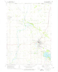
 - 1972 Map of Buffalo Center, 1975 Print
 1972 Buffalo Center1975 Print · USGSCovers Winnebago County, including Buffalo Center, Rake, and other nearby areas
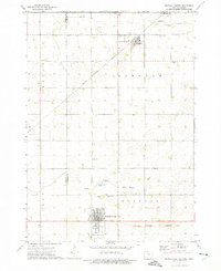
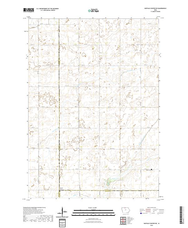
 - 1972 Map of Buffalo Center SW, 1975 Print
 1972 Buffalo Center SW1975 Print · USGSCovers Winnebago County, including Kossuth County, Hancock County, and other nearby areas
 - 1972 Map of Forest City, 1975 Print
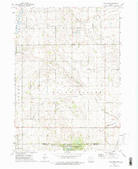
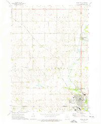 1972 Forest City1975 Print · USGSCovers Winnebago County, including Forest City, Leland, and other nearby areas
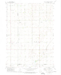
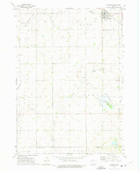
 - 1972 Map of Buffalo Center NE, 1975 Print
 1972 Buffalo Center NE1975 Print · USGSCovers Winnebago County, including Thompson, Amund, and other nearby areas
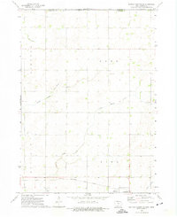
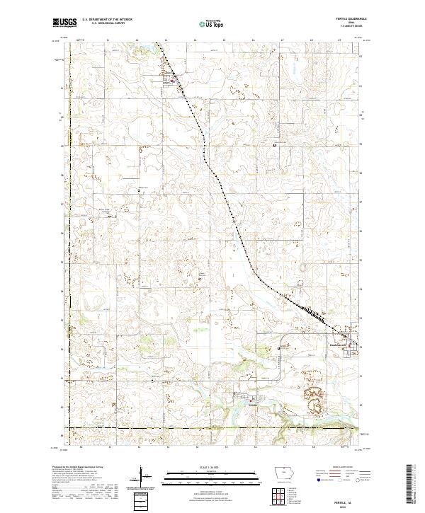
 - 1972 Map of Fertile, 1975 Print
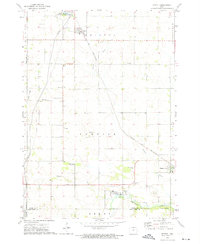 1972 Fertile1975 Print · USGSCovers Winnebago County, including Fertile, Joice, and other nearby areas
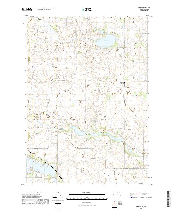
 - 1972 Map of Bristol, 1975 Print
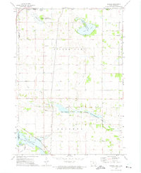 1972 Bristol1975 Print · USGSCovers Winnebago County, including Emmons, Bristol, and other nearby areas
 - 1972 Map of Pilot Knob, 1975 Print
 1972 Pilot Knob1975 Print · USGSCovers Winnebago County, including Forest City, Leland, and other nearby areas2 unique versions available
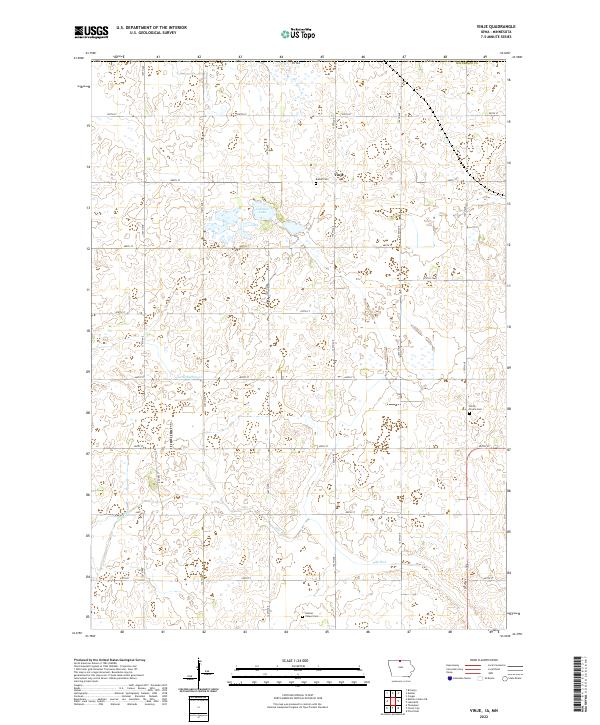
 - 1972 Map of Vinje, 1975 Print
 1972 Vinje1975 Print · USGSCovers Winnebago County, including Vinje, Freeborn County, and other nearby areas
 - 1972 Map of Thompson, 1975 Print
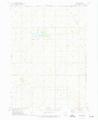
 1972 Thompson1975 Print · USGSCovers Winnebago County, including Thompson, Hancock County, and other nearby areas
 - 1972 Map of Lake Mills, 1975 Print
 1972 Lake Mills1975 Print · USGSCovers Winnebago County, including Lake Mills, Scarville, and other nearby areas
 - 1985 Map of Mason City
 1985 Mason City1985 Print · USGSCovers Winnebago County, including Mason City, Clear Lake, and other nearby areas2 unique versions available
 - 2022 Map of Buffalo Center NE, 2022 Print
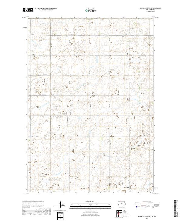 2022 Buffalo Center NE2022 Print · USGSCovers Winnebago County, including Thompson, Amund, and other nearby areas
 - 2022 Map of Buffalo Center, 2022 Print
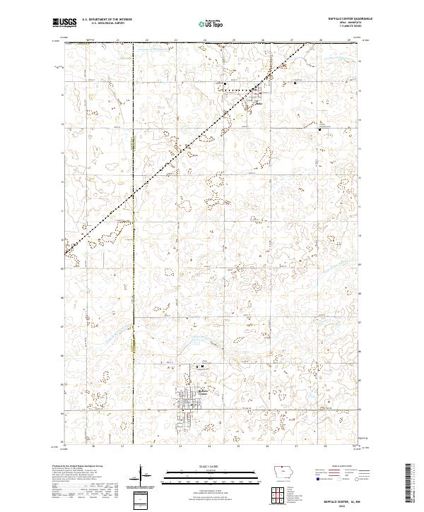 2022 Buffalo Center2022 Print · USGSCovers Winnebago County, including Buffalo Center, Rake, and other nearby areas
 - 2022 Map of Buffalo Center SW, 2022 Print
 2022 Buffalo Center SW2022 Print · USGSCovers Winnebago County, including Kossuth County, Hancock County, and other nearby areas
 - 2022 Map of Vinje, 2022 Print
 2022 Vinje2022 Print · USGSCovers Winnebago County, including Vinje, Freeborn County, and other nearby areas
 - 2022 Map of Fertile, 2022 Print
 2022 Fertile2022 Print · USGSCovers Winnebago County, including Fertile, Joice, and other nearby areas
 - 2022 Map of Lake Mills, 2022 Print
 2022 Lake Mills2022 Print · USGSCovers Winnebago County, including Lake Mills, Scarville, and other nearby areas
 - 2022 Map of Bristol, 2022 Print
 2022 Bristol2022 Print · USGSCovers Winnebago County, including Emmons, Somber, and other nearby areas
 - 2022 Map of Thompson, 2022 Print
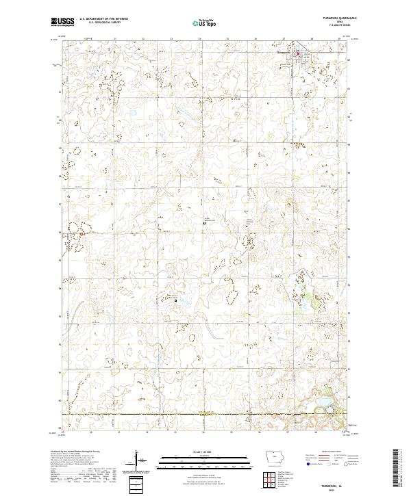 2022 Thompson2022 Print · USGSCovers Winnebago County, including Thompson, Hancock County, and other nearby areas
 - 2022 Map of Pilot Knob, 2022 Print
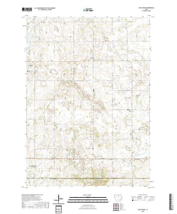 2022 Pilot Knob2022 Print · USGSCovers Winnebago County, including Forest City, Leland, and other nearby areas
 - 2022 Map of Forest City, 2022 Print
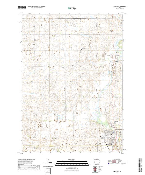 2022 Forest City2022 Print · USGSCovers Winnebago County, including Forest City, Leland, and other nearby areas
End of results
Showing maps 1-24 of 24
Top cities of Winnebago County
- Lake Mills historical maps
- Buffalo Center historical maps
- Thompson historical maps
- Leland historical maps
- Rake historical maps
- Scarville historical maps
Frequently asked questions
- What are the different types of historical maps available for Winnebago County?
- What is the oldest map of Winnebago County?
- Where can I purchase historical maps of Winnebago County for my home or office?
- Where can I download high-res historical maps of Winnebago County?
- Are there historical topographic maps available for Winnebago County?
- Is there historical aerial imagery available for Winnebago County?
- Where are historical maps of Winnebago County sourced from?