Old Maps of Winnebago County, Iowa for Academic Research
Study the evolution of Winnebago County with 24 high-resolution historic maps. Whether you're teaching, researching, or modeling changes in land use, these maps provide essential visual documentation of urban, environmental, and geographic change.
- Analyze long-term change: Track patterns in development, transportation, and natural features.
- Ideal for environmental or urban studies: Support academic projects with primary historical map data.
- Use in the classroom or lab: Educators and researchers rely on these maps to bring historical context to life.
These maps are a powerful tool for teaching, research, and visualizing how Winnebago County has changed over the decades.
Winnebago County, IA maps
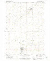
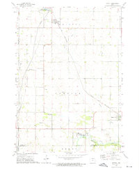
(24)- 1954 Map of Mason City, 1967 Print
 1954 Mason City1967 Print · USGSCovers Winnebago County, including Rochester, Mason City, and other nearby areas2 unique versions available
 - 1957 Map of Mason City
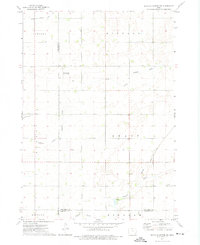
 1957 Mason City1957 Print · USGSCovers Winnebago County, including Rochester, Mason City, and other nearby areas
 - 1958 Map of Mason City
 1958 Mason City1958 Print · USGSCovers Winnebago County, including Rochester, Mason City, and other nearby areas
 - 1972 Map of Buffalo Center, 1975 Print
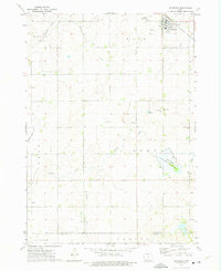
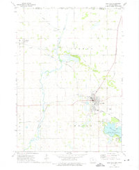
 1972 Buffalo Center1975 Print · USGSCovers Winnebago County, including Buffalo Center, Rake, and other nearby areas
 - 1972 Map of Buffalo Center SW, 1975 Print
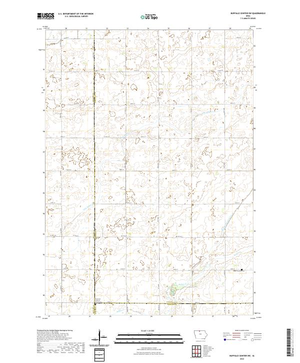
 1972 Buffalo Center SW1975 Print · USGSCovers Winnebago County, including Kossuth County, Hancock County, and other nearby areas
 - 1972 Map of Forest City, 1975 Print
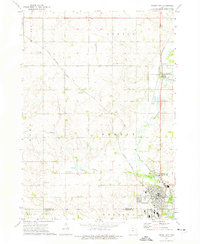 1972 Forest City1975 Print · USGSCovers Winnebago County, including Forest City, Leland, and other nearby areas
 - 1972 Map of Buffalo Center NE, 1975 Print
 1972 Buffalo Center NE1975 Print · USGSCovers Winnebago County, including Thompson, Amund, and other nearby areas
 - 1972 Map of Fertile, 1975 Print
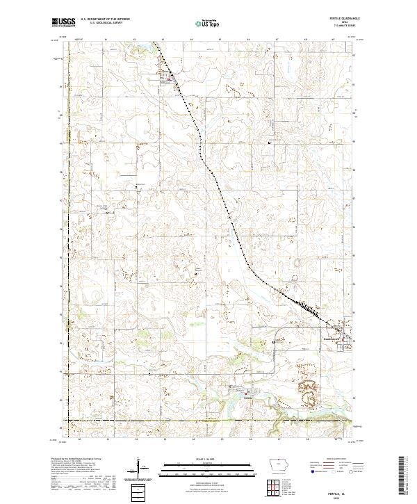
 1972 Fertile1975 Print · USGSCovers Winnebago County, including Fertile, Joice, and other nearby areas
 - 1972 Map of Bristol, 1975 Print
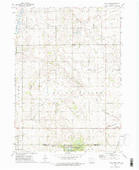
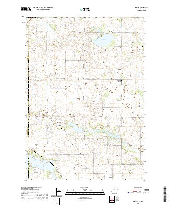
 1972 Bristol1975 Print · USGSCovers Winnebago County, including Emmons, Bristol, and other nearby areas
 - 1972 Map of Pilot Knob, 1975 Print
 1972 Pilot Knob1975 Print · USGSCovers Winnebago County, including Forest City, Leland, and other nearby areas2 unique versions available
 - 1972 Map of Vinje, 1975 Print
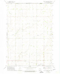
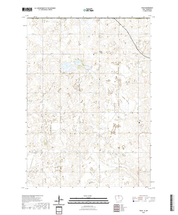
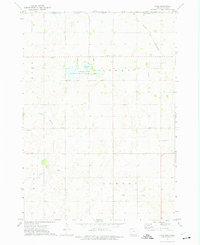 1972 Vinje1975 Print · USGSCovers Winnebago County, including Vinje, Freeborn County, and other nearby areas
 - 1972 Map of Thompson, 1975 Print
 1972 Thompson1975 Print · USGSCovers Winnebago County, including Thompson, Hancock County, and other nearby areas
 - 1972 Map of Lake Mills, 1975 Print
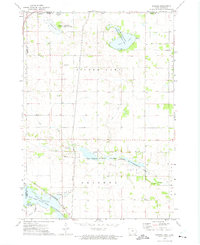
 1972 Lake Mills1975 Print · USGSCovers Winnebago County, including Lake Mills, Scarville, and other nearby areas
 - 1985 Map of Mason City
 1985 Mason City1985 Print · USGSCovers Winnebago County, including Mason City, Clear Lake, and other nearby areas2 unique versions available
 - 2022 Map of Buffalo Center NE, 2022 Print
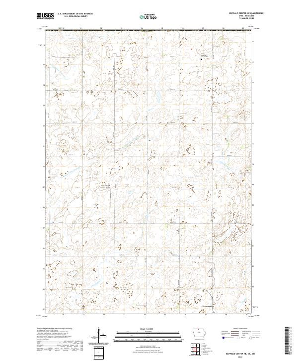 2022 Buffalo Center NE2022 Print · USGSCovers Winnebago County, including Thompson, Amund, and other nearby areas
 - 2022 Map of Buffalo Center, 2022 Print
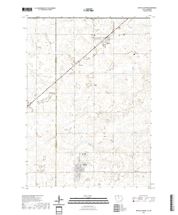 2022 Buffalo Center2022 Print · USGSCovers Winnebago County, including Buffalo Center, Rake, and other nearby areas
 - 2022 Map of Buffalo Center SW, 2022 Print
 2022 Buffalo Center SW2022 Print · USGSCovers Winnebago County, including Kossuth County, Hancock County, and other nearby areas
 - 2022 Map of Vinje, 2022 Print
 2022 Vinje2022 Print · USGSCovers Winnebago County, including Vinje, Freeborn County, and other nearby areas
 - 2022 Map of Fertile, 2022 Print
 2022 Fertile2022 Print · USGSCovers Winnebago County, including Fertile, Joice, and other nearby areas
 - 2022 Map of Lake Mills, 2022 Print
 2022 Lake Mills2022 Print · USGSCovers Winnebago County, including Lake Mills, Scarville, and other nearby areas
 - 2022 Map of Bristol, 2022 Print
 2022 Bristol2022 Print · USGSCovers Winnebago County, including Emmons, Somber, and other nearby areas
 - 2022 Map of Thompson, 2022 Print
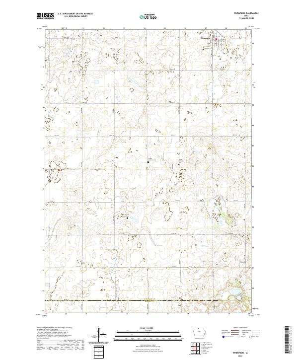 2022 Thompson2022 Print · USGSCovers Winnebago County, including Thompson, Hancock County, and other nearby areas
 - 2022 Map of Pilot Knob, 2022 Print
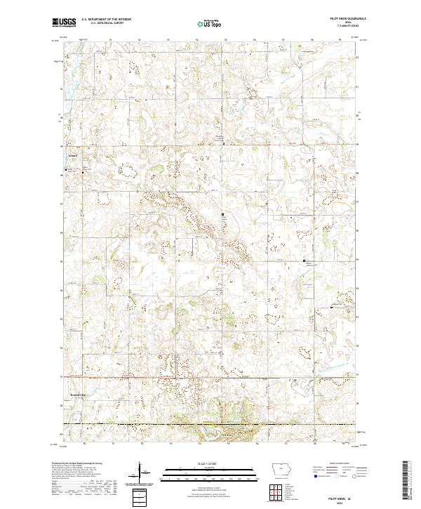 2022 Pilot Knob2022 Print · USGSCovers Winnebago County, including Forest City, Leland, and other nearby areas
 - 2022 Map of Forest City, 2022 Print
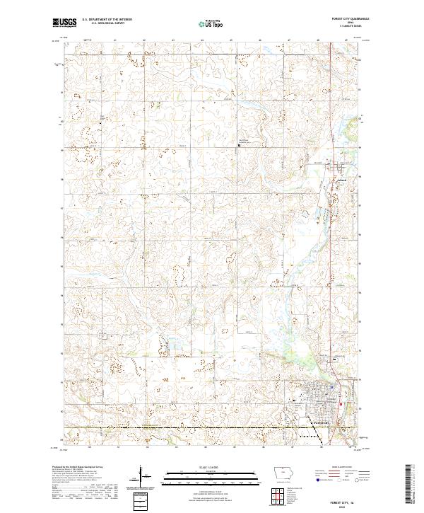 2022 Forest City2022 Print · USGSCovers Winnebago County, including Forest City, Leland, and other nearby areas
End of results
Showing maps 1-24 of 24
Top cities of Winnebago County
- Lake Mills historical maps
- Buffalo Center historical maps
- Thompson historical maps
- Leland historical maps
- Rake historical maps
- Scarville historical maps
Frequently asked questions
- What are the different types of historical maps available for Winnebago County?
- What is the oldest map of Winnebago County?
- Where can I purchase historical maps of Winnebago County for my home or office?
- Where can I download high-res historical maps of Winnebago County?
- Are there historical topographic maps available for Winnebago County?
- Is there historical aerial imagery available for Winnebago County?
- Where are historical maps of Winnebago County sourced from?