
1972 Map of Bristol
USGS Topo · Published 1975About this map
The northern border of Bristol township meets the Minnesota state line in this early 1970s topographic study, where the landscape is defined by extensive wetland management and the drainage basins of the Chicago and North Western railroad corridor. The area around the settlement of Bristol and the village of Emmons is notably rich in community landmarks, including St Patricks Cem, Sion Ch, and Somber Ch. The survey emphasizes the region's commitment to conservation, detailing the boundaries of the Elk Creek Marsh State Game Management Area, the Rice Lake State Game Management Area, and several other lakeside preserves. This period shows the intricate hydraulic network of the agricultural heartland, featuring engineered waterways like Ditch No 46 and Ditch No 9 that supported local farming alongside the natural flow of Elk Creek.
Find a feature on this map
30 named features on this map. Tap any name to fly to it.
Don’t see what you’re looking for? This feature index may not catch every label — zoom into the map to look around manually.
Map Details
Editions of this 1972 Bristol Map
This is the sole edition of this map. No revisions or reprints were ever made.
Other maps of this area

1954 · Albert Lea
USGS Topo · 1:62,500

1954 · Mason City
USGS Topo · 1:250,000

1955 · Wells
USGS Topo · 1:62,500

1957 · Mason City
USGS Topo · 1:250,000

1958 · Mason City
USGS Topo · 1:250,000

1972 · Fertile
USGS Topo · 1:24,000

1972 · Fertile NE
USGS Topo · 1:24,000
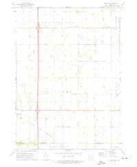
1972 · Fertile SE
USGS Topo · 1:24,000

1972 · Pilot Knob
USGS Topo · 1:24,000
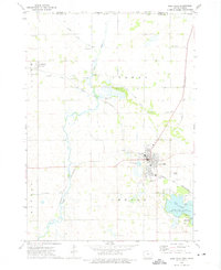
1972 · Lake Mills
USGS Topo · 1:24,000