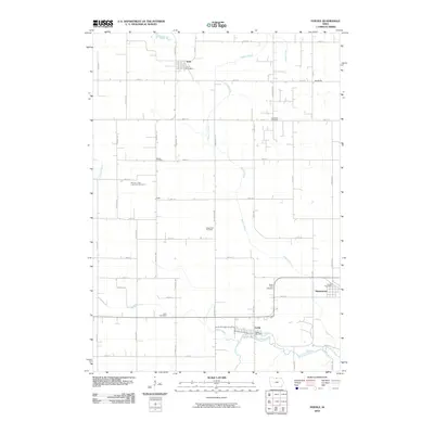
1972 Map of Fertile
USGS Topo · Published 1975About this map
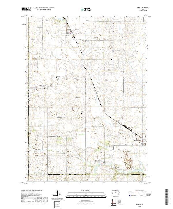
The Chicago and North Western railway cuts diagonally through this north-central Iowa landscape, connecting the agricultural hubs of Joice and Hanlontown. The terrain is defined by the gentle drainage of Beaver Creek and Winans Creek, flowing toward the Winnebago River near the southern boundary. This 1972 survey highlights a community structure rooted in small rural institutions, evidenced by the distribution of country churches and cemeteries like Bethel Ch and the Severson Cem. Environmental conservation is visible at the northern edge within the Rice Lake State Game Management Area, while local recreation and preserved woodland are found at Haugen Timber County Park. Near the town of Fertile, the presence of Quarries and Gravel Pits points to the local extraction industry that supported the region's road and rail infrastructure.
Find a feature on this map
29 named features on this map. Tap any name to fly to it.
Don’t see what you’re looking for? This feature index may not catch every label — zoom into the map to look around manually.
Map Details
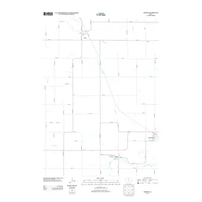
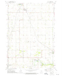
Editions of this 1972 Fertile Map
This is the sole edition of this map. No revisions or reprints were ever made.
Historical Maps of Fertile Through Time
6 maps found