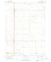
1972 Map of Fertile SE
USGS Topo · Published 1975About this map
Hanlontown sits at the southwestern edge of this northern Iowa landscape, where the Chicago and North Western railroad cuts across the agricultural plains of Brookfield and Danville townships. The area is defined by a dense network of waterways feeding into the Winnebago River and Lime Creek at the southern boundary, including the meandering paths of Willow Creek, Beaver Creek, and Wharam Creek.
Find a feature on this map
20 named features on this map. Tap any name to fly to it.
Don’t see what you’re looking for? This feature index may not catch every label — zoom into the map to look around manually.
Map Details
Editions of this 1972 Fertile SE Map
This is the sole edition of this map. No revisions or reprints were ever made.
Other maps of this area

1954 · Mason City
USGS Topo · 1:250,000

1957 · Mason City
USGS Topo · 1:250,000

1958 · Mason City
USGS Topo · 1:250,000

1959 · Mason City
USGS Topo · 1:24,000

1959 · Mason City
USGS Topo · 1:62,500

1972 · Clear Lake West
USGS Topo · 1:24,000

1972 · Manly
USGS Topo · 1:24,000

1972 · Fertile
USGS Topo · 1:24,000

1972 · Northwood
USGS Topo · 1:24,000

1972 · Fertile NE
USGS Topo · 1:24,000