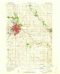
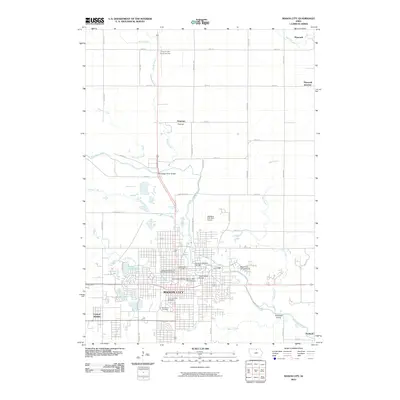
1959 Map of Mason City
USGS Topo · Published 1961About this map
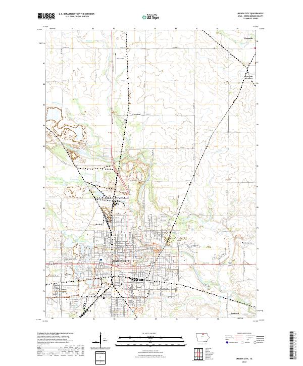
Mason City serves as the industrial and transportation hub of North Central Iowa in this late 1950s survey, defined by its complex network of five major railroads including the Chicago Great Western and the Minneapolis and St Louis. The city’s core is surrounded by essential local landmarks like Elmwood Cem, Parkers Woods, and several brick-and-tile industry Claypits that highlight the area's geological economy.
Find a feature on this map
63 named features on this map. Tap any name to fly to it.
Don’t see what you’re looking for? This feature index may not catch every label — zoom into the map to look around manually.
Map Details
Editions of this 1959 Mason City Map
This is the sole edition of this map. No revisions or reprints were ever made.
Historical Maps of Mason City Through Time
11 maps found
1954 Mason City
Cerro Gordo County, IA

1957 Mason City
Cerro Gordo County, IA

1958 Mason City
Cerro Gordo County, IA
1959 Mason City
Cerro Gordo County, IA
1959 Mason City
Cerro Gordo County, IA
1985 Mason City
Cerro Gordo County, IA
2010 Mason City
Cerro Gordo County, IA
2013 Mason City
Cerro Gordo County, IA
2015 Mason City
Cerro Gordo County, IA
2018 Mason City
Cerro Gordo County, IA
2022 Mason City
Cerro Gordo County, IA