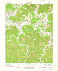
1974 Map of Artemus
USGS Topo · Published 1976About this map
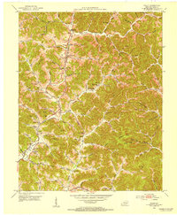
The Cumberland River carves a deep path through this 1970s landscape, where the Louisville and Nashville railroad follows its winding southern bank. This era is defined by heavy industry and established mountain communities, with Artemus and Himyar serving as local hubs along the rail line. Extensive strip mining operations are visible across the high ridges, particularly around Gregory Ridge and Pogue Hollow, reflecting the region's mid-century economic reliance on coal extraction.
Find a feature on this map
80 named features on this map. Tap any name to fly to it.
Don’t see what you’re looking for? This feature index may not catch every label — zoom into the map to look around manually.
Map Details
Editions of this 1974 Artemus Map
This is the sole edition of this map. No revisions or reprints were ever made.
Other maps of this area

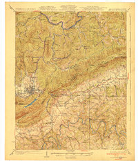
1886 · Cumberland Gap
USGS Topo · 1:125,000

1888 · Cumberland Gap
USGS Topo · 1:125,000

1891 · Cumberland Gap
USGS Topo · 1:125,000

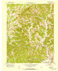
1903 · Pineville
USGS Topo · 1:48,000

1903 · Middlesboro
USGS Topo · 1:48,000

1927 · Middlesboro
USGS Topo · 1:62,500
1930 · Middlesboro
USGS Topo · 1:62,500
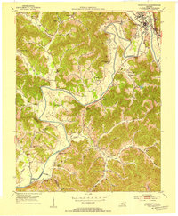
1952 · Barbourville
USGS Topo · 1:24,000
1952 · Heidrick
USGS Topo · 1:24,000
1952 · Fount
USGS Topo · 1:24,000