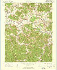
1952 Map of Artemus
USGS Topo · Published 1961About this map
The Cumberland River carves a deep path through the coal-rich landscape of Knox and Bell Counties, where industry and community were closely tied to the water and the L & N RR corridor. In the early 1950s, the area around Artemus and Flat Lick served as a hub for both transportation and resource extraction, evidenced by numerous Gas Wells and a Strip Mine located in the hills. The legendary Wilderness Road follows the topography, connecting older settlements like Yeager (Bimble PO) to the river valleys.
Find a feature on this map
71 named features on this map. Tap any name to fly to it.
Don’t see what you’re looking for? This feature index may not catch every label — zoom into the map to look around manually.
Map Details
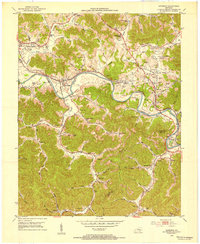
Editions of this 1952 Artemus Map
2 editions found
Other maps of this area

1886 · Cumberland Gap
USGS Topo · 1:125,000

1888 · Cumberland Gap
USGS Topo · 1:125,000

1891 · Cumberland Gap
USGS Topo · 1:125,000

1903 · Pineville
USGS Topo · 1:48,000

1903 · Middlesboro
USGS Topo · 1:48,000

1927 · Middlesboro
USGS Topo · 1:62,500

1930 · Middlesboro
USGS Topo · 1:62,500

1952 · Barbourville
USGS Topo · 1:24,000

1952 · Heidrick
USGS Topo · 1:24,000

1952 · Fount
USGS Topo · 1:24,000