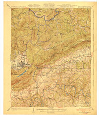
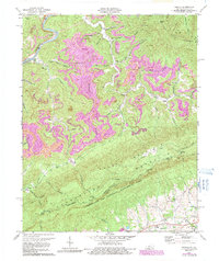
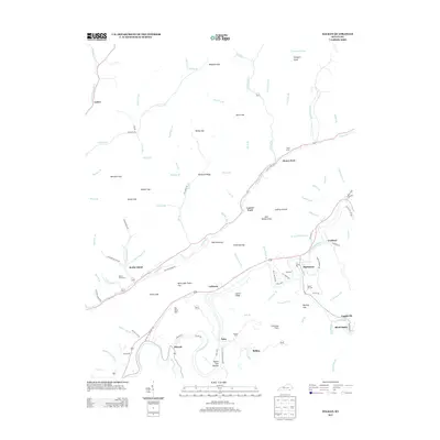
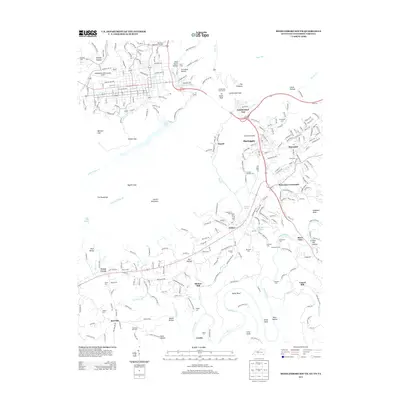
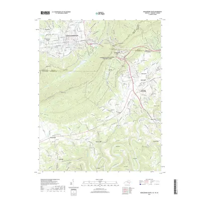
1930 Map of Middlesboro
USGS Topo · Published 1930About this map
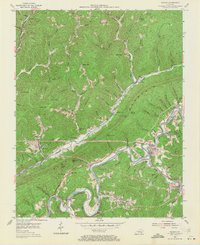
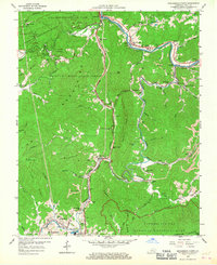
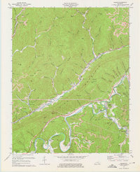
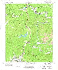
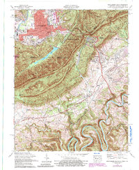
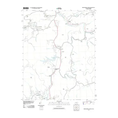
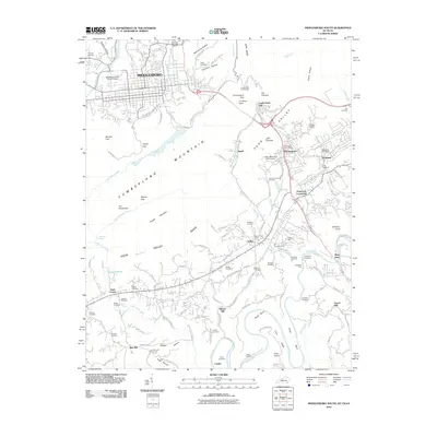
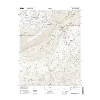
Cumberland Gap serves as the focal point of this tri-state survey, marking the historic mountain pass where Kentucky, Tennessee, and Virginia converge. The settlement of Middlesboro dominates the western valley, while to the south, the campus of Lincoln Memorial University sits near the base of the ridge in Harrogate. The landscape is a dense network of mountain ridges including Brush Mountain and Canada Mountain, carved by the Cumberland River in the north and the winding loops of the Powell River to the south.
Find a feature on this map
97 named features on this map. Tap any name to fly to it.
Don’t see what you’re looking for? This feature index may not catch every label — zoom into the map to look around manually.
Map Details
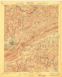
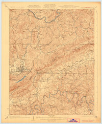
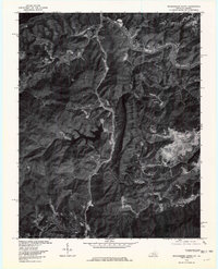
Editions of this 1930 Middlesboro Map
4 editions found
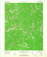
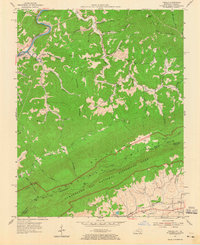
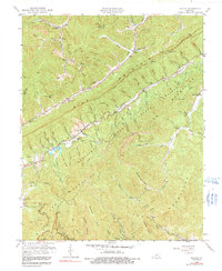
Historical Maps of Middlesboro Through Time
49 maps found

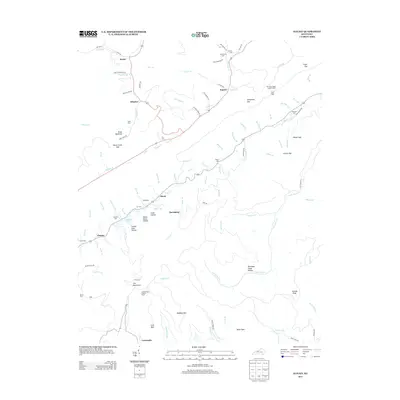
1903 Middlesboro
Bell County, KY

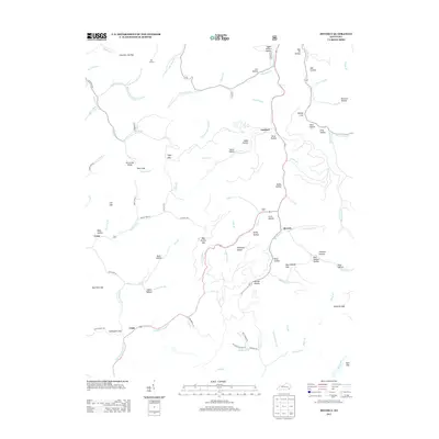
1927 Middlesboro
Bell County, KY
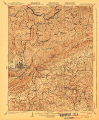
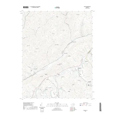
1930 Middlesboro
Bell County, KY

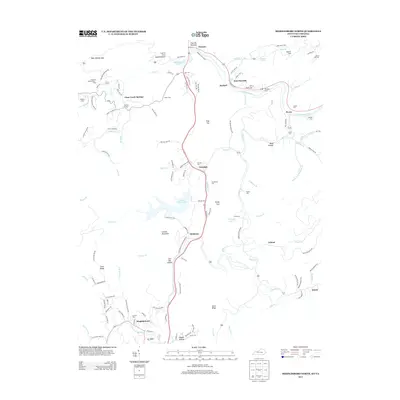
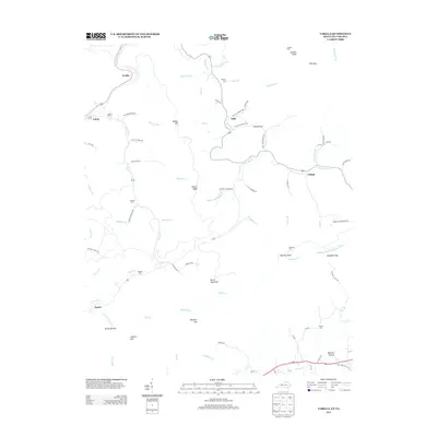
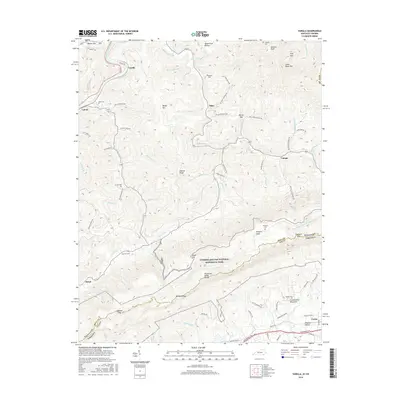
1935 Varilla
Bell County, KY

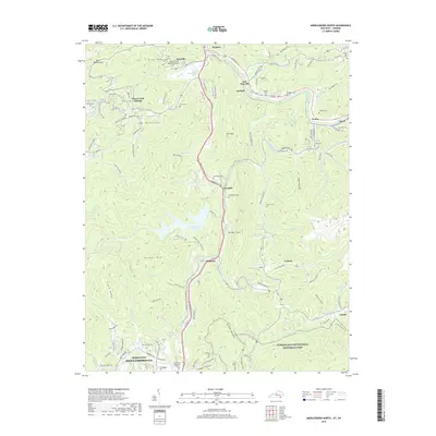
1952 Davisburg
Bell County, KY
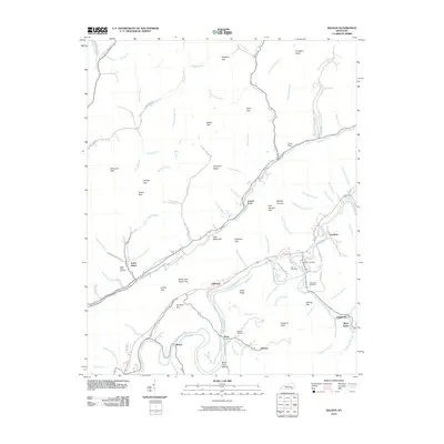
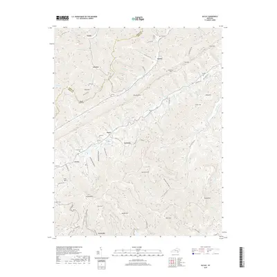
1954 Balkan
Bell County, KY
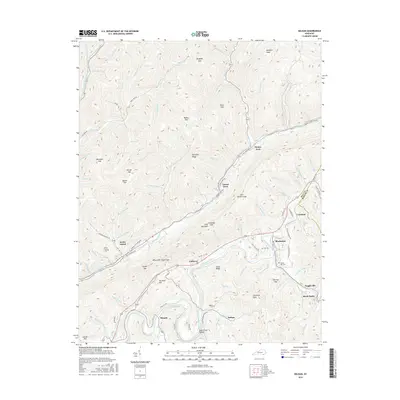
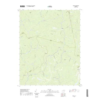
1954 Beverly
Bell County, KY

1954 Middlesboro North
Bell County, KY
1954 Varilla
Bell County, KY
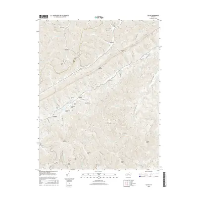
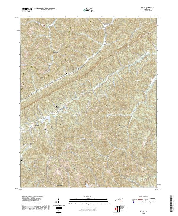
1959 Kayjay
Bell County, KY
1959 Middlesboro North
Bell County, KY
1974 Balkan
Bell County, KY
1974 Middlesboro North
Bell County, KY
1974 Middlesboro South
Bell County, KY
1974 Varilla
Bell County, KY
1976 Middlesboro North
Bell County, KY

1976 Middlesboro South
Bell County, KY

1976 Varilla
Bell County, KY

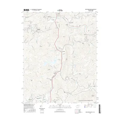
1979 Beverly
Bell County, KY
2010 Balkan
Bell County, KY
2010 Kayjay
Bell County, KY
2010 Middlesboro North
Bell County, KY
2010 Middlesboro South
Bell County, KY
2011 Beverly
Bell County, KY
2011 Varilla
Bell County, KY
2013 Balkan
Bell County, KY
2013 Beverly
Bell County, KY
2013 Kayjay
Bell County, KY
2013 Middlesboro North
Bell County, KY
2013 Middlesboro South
Bell County, KY
2013 Varilla
Bell County, KY
2016 Balkan
Bell County, KY
2016 Beverly
Bell County, KY
2016 Kayjay
Bell County, KY
2016 Middlesboro North
Bell County, KY
2016 Middlesboro South
Bell County, KY
2016 Varilla
Bell County, KY
2019 Balkan
Bell County, KY
2019 Beverly
Bell County, KY
2019 Kayjay
Bell County, KY
2019 Middlesboro North
Bell County, KY
2019 Middlesboro South
Bell County, KY
2019 Varilla
Bell County, KY
2022 Balkan
Bell County, KY
2022 Beverly
Bell County, KY
2022 Kayjay
Bell County, KY
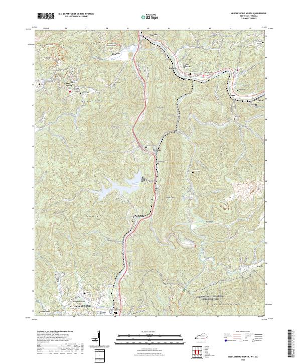
2022 Middlesboro North
Bell County, KY
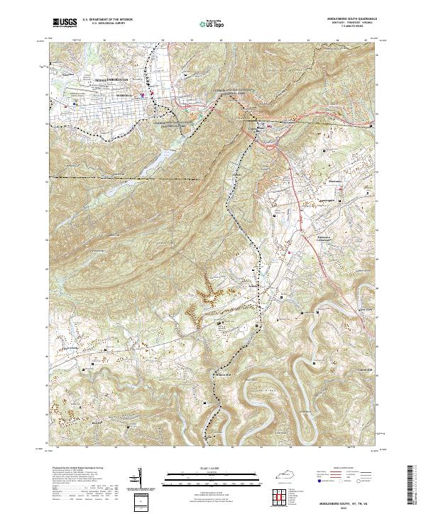
2022 Middlesboro South
Bell County, KY
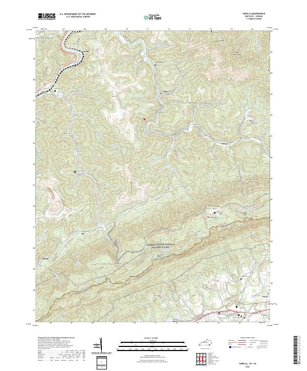
2022 Varilla
Bell County, KY