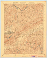
1930 Map of Middlesboro
USGS Topo · Published 1930About this map
Middlesboro anchors this survey at the convergence of three states, positioned just northwest of the famous Cumberland Gap. The topography is dominated by the parallel ridges of Log Mountain and Cumberland Mountain, with the Cumberland River and Powell River carving through the valleys. This 1920s mapping work illustrates a landscape transition, where the established campus of Lincoln Memorial University at Harrogate stands near old river bends like Massengill Bend. Industrial and transit networks are evident through the Louisville and Nashville railroad lines connecting mining and timber outposts such as Wasioto and Colmar. A dense network of rural infrastructure is preserved here, from family-named schools like Laurel Hill Sch and Underwood Sch to local landmarks like The Pinnacle and Gobblers Knob.
Find a feature on this map
82 named features on this map. Tap any name to fly to it.
Don’t see what you’re looking for? This feature index may not catch every label — zoom into the map to look around manually.
Map Details
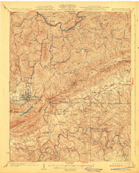
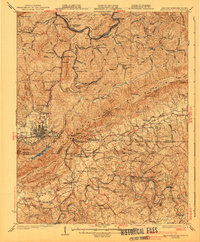
Editions of this 1930 Middlesboro Map
4 editions found

Other maps of this area

1883 · Morristown
USGS Topo · 1:125,000

1886 · Cumberland Gap
USGS Topo · 1:125,000

1887 · Jonesville
USGS Topo · 1:125,000

1888 · Cumberland Gap
USGS Topo · 1:125,000

1891 · Cumberland Gap
USGS Topo · 1:125,000

1891 · Jonesville
USGS Topo · 1:125,000

1893 · Morristown
USGS Topo · 1:125,000

1895 · Morristown
USGS Topo · 1:125,000

1897 · Maynardville
USGS Topo · 1:125,000

1900 · Maynardville
USGS Topo · 1:125,000