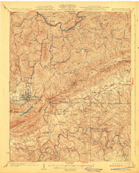
1930 Map of Middlesboro
USGS Topo · Published 1930About this map
The tri-state boundary where Kentucky, Tennessee, and Virginia meet is anchored by the historic Cumberland Gap and the bustling rail hub of Middlesboro. This 1930 edition shows a landscape defined by the Cumberland River to the north and the Powell River to the south, with the Southern and Louisville and Nashville railroads providing the primary transportation arteries through the mountains.
Find a feature on this map
122 named features on this map. Tap any name to fly to it.
Don’t see what you’re looking for? This feature index may not catch every label — zoom into the map to look around manually.
Map Details
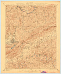
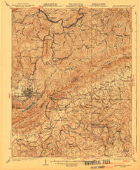
Editions of this 1930 Middlesboro Map
4 editions found

Other maps of this area

1883 · Morristown
USGS Topo · 1:125,000

1886 · Cumberland Gap
USGS Topo · 1:125,000

1887 · Jonesville
USGS Topo · 1:125,000

1888 · Cumberland Gap
USGS Topo · 1:125,000

1891 · Cumberland Gap
USGS Topo · 1:125,000

1891 · Jonesville
USGS Topo · 1:125,000

1893 · Morristown
USGS Topo · 1:125,000

1895 · Morristown
USGS Topo · 1:125,000

1897 · Maynardville
USGS Topo · 1:125,000

1900 · Maynardville
USGS Topo · 1:125,000