
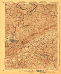
1903 Map of Middlesboro
USGS Topo · Published 1903About this map
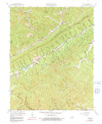
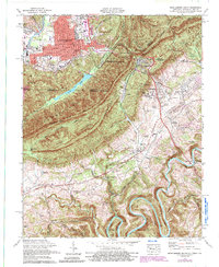
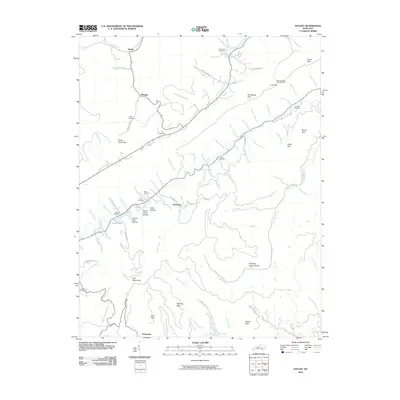
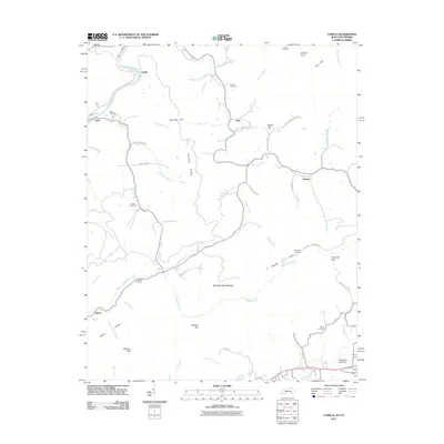
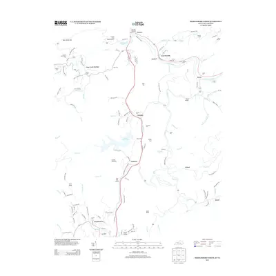
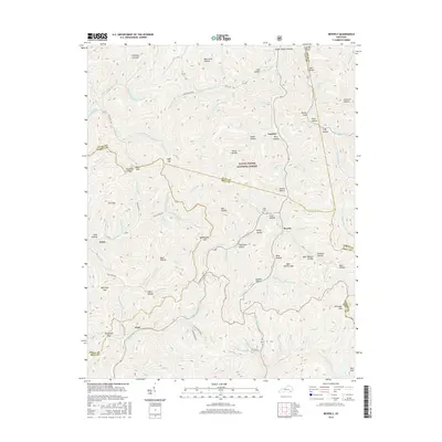
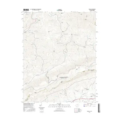
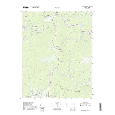
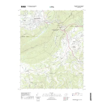
Middlesboro anchors the southwestern corner of this survey, established in a high mountain basin at the turn of the century. The town's grid plan is clearly visible against the backdrop of the massive ridge line that defines the state boundary. This particular survey, conducted by Nat Tyler Jr. and RW Berry, emphasizes the critical mountain passes that shaped migration and trade in the region. These natural corridors, including Cumberland Gap and several smaller crossings like Baptist Gap and Chumley Gap, are plotted with high-relief detail. The drainage of Yellow Creek cuts through the basin, illustrating the geographical constraints that concentrated development in the valley. The map provides a look at the landscape before major modern highway infrastructure, showing the original paths through the gaps that served as the primary routes between Kentucky, Virginia, and Tennessee.
Find a feature on this map
12 named features on this map. Tap any name to fly to it.
Don’t see what you’re looking for? This feature index may not catch every label — zoom into the map to look around manually.
Map Details
Editions of this 1903 Middlesboro Map
This is the sole edition of this map. No revisions or reprints were ever made.
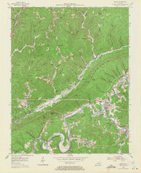
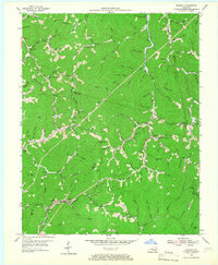
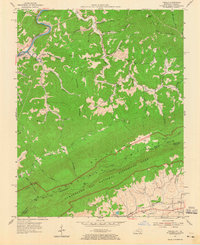
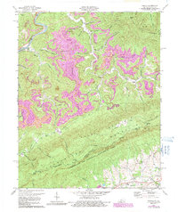
Historical Maps of Middlesboro Through Time
49 maps found
1903 Middlesboro
Bell County, KY

1927 Middlesboro
Bell County, KY
1930 Middlesboro
Bell County, KY

1935 Varilla
Bell County, KY

1952 Davisburg
Bell County, KY
1954 Balkan
Bell County, KY
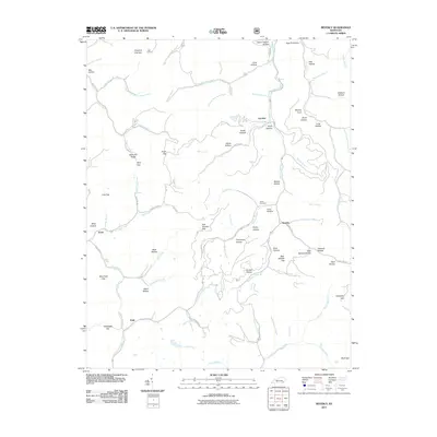
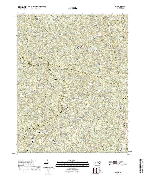
1954 Beverly
Bell County, KY

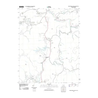
1954 Middlesboro North
Bell County, KY
1954 Varilla
Bell County, KY
1959 Kayjay
Bell County, KY
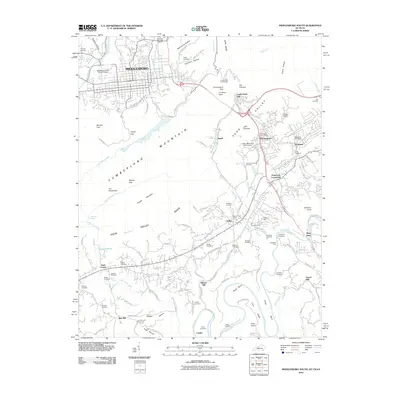
1959 Middlesboro North
Bell County, KY
1974 Balkan
Bell County, KY
1974 Middlesboro North
Bell County, KY
1974 Middlesboro South
Bell County, KY
1974 Varilla
Bell County, KY
1976 Middlesboro North
Bell County, KY

1976 Middlesboro South
Bell County, KY

1976 Varilla
Bell County, KY

1979 Beverly
Bell County, KY
2010 Balkan
Bell County, KY
2010 Kayjay
Bell County, KY
2010 Middlesboro North
Bell County, KY
2010 Middlesboro South
Bell County, KY
2011 Beverly
Bell County, KY
2011 Varilla
Bell County, KY
2013 Balkan
Bell County, KY
2013 Beverly
Bell County, KY
2013 Kayjay
Bell County, KY
2013 Middlesboro North
Bell County, KY
2013 Middlesboro South
Bell County, KY
2013 Varilla
Bell County, KY
2016 Balkan
Bell County, KY
2016 Beverly
Bell County, KY
2016 Kayjay
Bell County, KY
2016 Middlesboro North
Bell County, KY
2016 Middlesboro South
Bell County, KY
2016 Varilla
Bell County, KY
2019 Balkan
Bell County, KY
2019 Beverly
Bell County, KY
2019 Kayjay
Bell County, KY
2019 Middlesboro North
Bell County, KY
2019 Middlesboro South
Bell County, KY
2019 Varilla
Bell County, KY
2022 Balkan
Bell County, KY
2022 Beverly
Bell County, KY
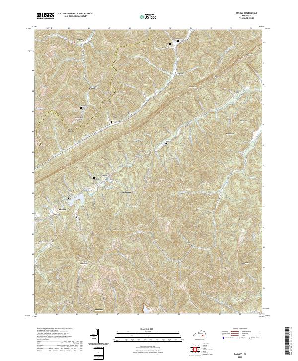
2022 Kayjay
Bell County, KY
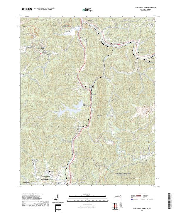
2022 Middlesboro North
Bell County, KY
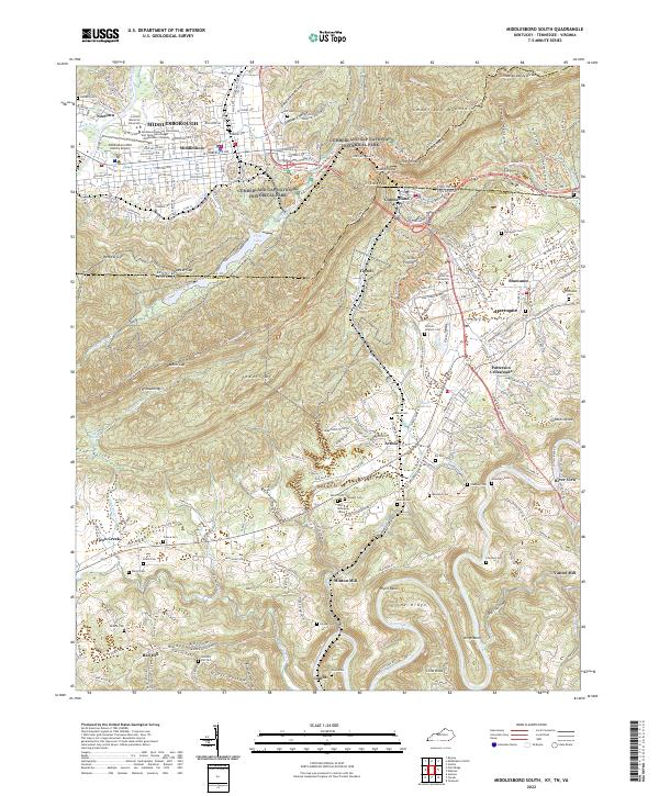
2022 Middlesboro South
Bell County, KY
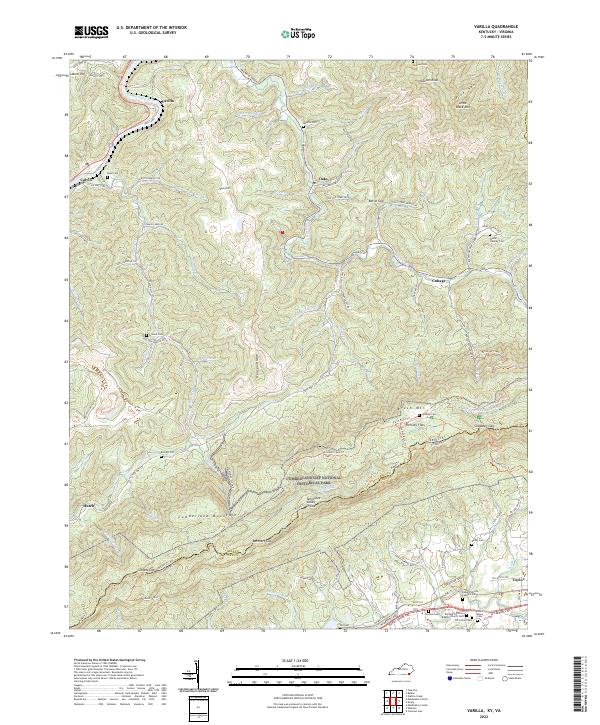
2022 Varilla
Bell County, KY