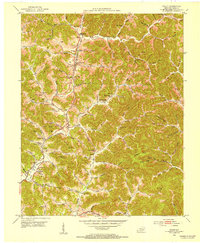
1952 Map of Fount
USGS Topo · Published 1953About this map
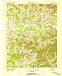
Fount and Hammons anchor the landscape of Knox County in the early 1950s, a region defined by a dense network of hollows and ridges characteristic of southeastern Kentucky. The topographic detail reveals a society organized around local landmarks such as Hammons Fork and the Louisville and Nashville railroad corridor. Communities are knit together by numerous country churches and one-room schoolhouses like Dripping Spring Ch and the Trace Branch Sch, reflecting the localized nature of rural life before widespread consolidation.
Find a feature on this map
118 named features on this map. Tap any name to fly to it.
Don’t see what you’re looking for? This feature index may not catch every label — zoom into the map to look around manually.
Map Details
Editions of this 1952 Fount Map
This is the sole edition of this map. No revisions or reprints were ever made.
Other maps of this area

1886 · Cumberland Gap
USGS Topo · 1:125,000

1888 · Cumberland Gap
USGS Topo · 1:125,000

1891 · Manchester
USGS Topo · 1:125,000

1891 · Cumberland Gap
USGS Topo · 1:125,000

1903 · Pineville
USGS Topo · 1:48,000
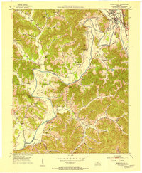
1952 · Barbourville
USGS Topo · 1:24,000
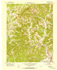
1952 · Heidrick
USGS Topo · 1:24,000
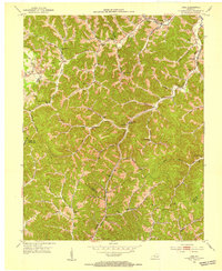
1952 · Hima
USGS Topo · 1:24,000
1952 · Blackwater
USGS Topo · 1:24,000
1952 · Artemus
USGS Topo · 1:24,000