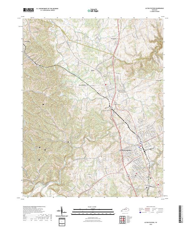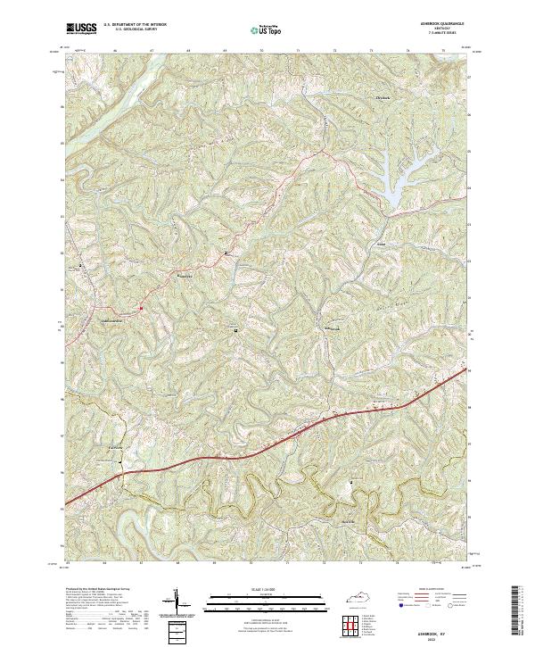
2022 Map of Ashbrook
USGS Topo · Published 2022About this map
Ashbrook and the surrounding rural uplands of Anderson County are defined by a complex network of ridges and winding waterways. The landscape transitions between Pleasant Hill Ridge in the north and Baxter Ridge to the east, with deep-cut drainages like Puncheon Creek and Little Beaver Cr carving the terrain. The map captures a high density of local genealogical landmarks, including family-named sites like Leathers Cem and Pennys Chapel Cem, alongside established community anchors such as New Liberty Church Cem.
Find a feature on this map
90 named features on this map. Tap any name to fly to it.
Don’t see what you’re looking for? This feature index may not catch every label — zoom into the map to look around manually.
Map Details
Editions of this 2022 Ashbrook Map
This is the sole edition of this map. No revisions or reprints were ever made.
Historical Maps of Drydock Through Time
6 maps found