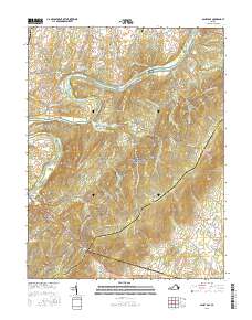
2016 Map of Ashby Gap
USGS Topo · Published 2016About this map
The Shenandoah River cuts a wide, meandering path through this Northern Virginia landscape, defining the transition between the rolling valley floor and the rising heights of the Blue Ridge mountains. Near the historic crossing at Berrys, the river is bridged at Byrd Bridge and Trap Bridge, while the memory of earlier river travel is preserved in the name of Castlemans Ferry Bridge to the north. Settlement is concentrated in small clusters such as Paris, positioned at the foot of the mountains, and Frogtown, located further north along the slopes.
Find a feature on this map
95 named features on this map. Tap any name to fly to it.
Don’t see what you’re looking for? This feature index may not catch every label — zoom into the map to look around manually.
Map Details
Editions of this 2016 Ashby Gap Map
This is the sole edition of this map. No revisions or reprints were ever made.
Other maps of this area

1884 · Harpers Ferry
USGS Topo · 1:125,000

1891 · Harpers Ferry
USGS Topo · 1:125,000

1893 · Luray
USGS Topo · 1:125,000

1893 · Harpers Ferry
USGS Topo · 1:125,000

1894 · Warrenton
USGS Topo · 1:125,000

1894 · Winchester
USGS Topo · 1:125,000

1905 · Luray
USGS Topo · 1:125,000

1916 · Berryville
USGS Topo · 1:62,500

1938 · Winchester
USGS Topo · 1:48,000

1939 · Front Royal
USGS Topo · 1:48,000