1947 Map of Ashland
USGS Topo · Published 1947About this map
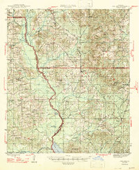
The Louisiana And Arkansas railroad anchors the local economy of this northern Louisiana region, cutting through the hill country where Bienville, Natchitoches, and Red River Parishes meet. Small settlements like Ashland and Chestnut serve as central hubs for a landscape defined by an exceptionally high density of rural institutions. Numerous country churches and schools, including St Mathews Ch, Foster Arbor Ch, and New Hope Sch, suggest a deeply rooted community structure during the mid-1940s.
Find a feature on this map
73 named features on this map. Tap any name to fly to it.
Don’t see what you’re looking for? This feature index may not catch every label — zoom into the map to look around manually.
Map Details
Editions of this 1947 Ashland Map
This is the sole edition of this map. No revisions or reprints were ever made.
Historical Maps of Martin Through Time
9 maps found
1947 Ashland
Natchitoches Parish, LA
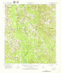
1957 Ashland
Natchitoches Parish, LA

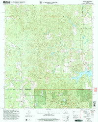
1986 Ashland
Natchitoches Parish, LA
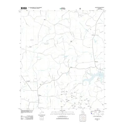
2003 Ashland
Natchitoches Parish, LA
2012 Ashland
Natchitoches Parish, LA
2015 Ashland
Natchitoches Parish, LA
2018 Ashland
Natchitoches Parish, LA
2020 Ashland
Natchitoches Parish, LA
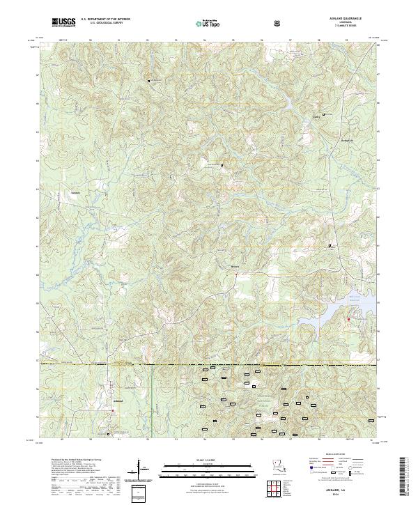
2024 Ashland
Natchitoches Parish, LA