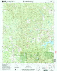
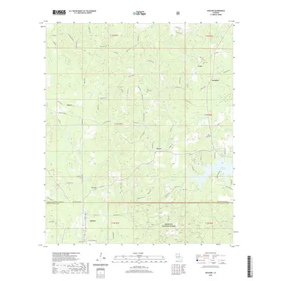
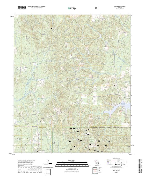
1957 Map of Ashland
USGS Topo · Published 1979About this map
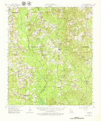
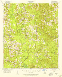
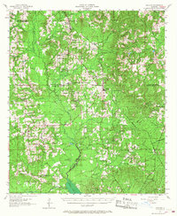
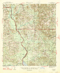
Ashland serves as a central hub in this mid-century survey of the North Louisiana hill country, situated where the Kansas City Southern railroad cuts through the terrain. The landscape is a transition between the dense timber of the Kisatchie National Forest and the agricultural openings of the Red River Valley. Evidence of earlier rural life is found in numerous defunct institutional sites, such as the New Hope Sch (Abandoned) and Iron Springs Sch (Abandoned), which appear alongside active community centers like Old Saline Ch and Ridge Ch. In the southern reaches of the map, the waters of Black Lake and Little Clear Lake mark the low-lying drainage basins of the Black Lake Bayou. The map also captures the local industrial footprint with the presence of an Oil Field and lookout towers like the Martin Lookout Tower, reflecting the regional reliance on forestry and mineral resources.
Find a feature on this map
92 named features on this map. Tap any name to fly to it.
Don’t see what you’re looking for? This feature index may not catch every label — zoom into the map to look around manually.
Map Details
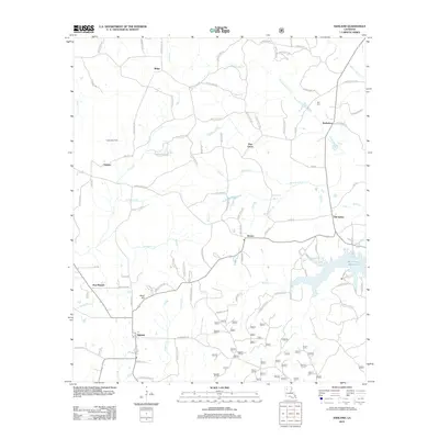
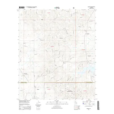
Editions of this 1957 Ashland Map
3 editions found
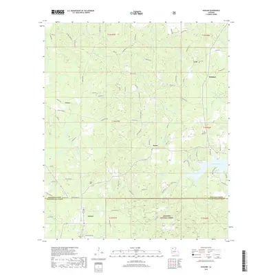
Historical Maps of Martin Through Time
9 maps found
1947 Ashland
Natchitoches Parish, LA
1957 Ashland
Natchitoches Parish, LA

1986 Ashland
Natchitoches Parish, LA
2003 Ashland
Natchitoches Parish, LA
2012 Ashland
Natchitoches Parish, LA
2015 Ashland
Natchitoches Parish, LA
2018 Ashland
Natchitoches Parish, LA
2020 Ashland
Natchitoches Parish, LA
2024 Ashland
Natchitoches Parish, LA