
1957 Map of Ashland
USGS Topo · Published 1958About this map
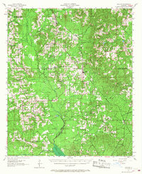
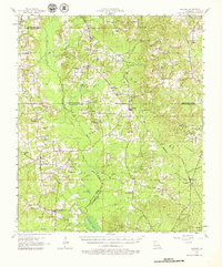
Ashland and Chestnut anchor this mid-century portrait of North Louisiana, where the parish lines of Bienville, Red River, and Natchitoches converge. The landscape is defined by the tracks of the Kansas City Southern railroad, which runs parallel to numerous tributaries like Castor Creek and Black Creek. This era reveals a transition in rural community life, marked by several decommissioned educational sites such as New Hope Sch and Iron Springs Sch, while the Martin Lookout Tower stands as a sentinel over the timberlands of the area. A high density of country churches and family cemeteries, including the St Mathews Cem and Stewart Cem, suggests a deeply rooted local genealogy tied to the drainage basins of Antoine Creek and Cypress Creek. Small industrial nodes like the Oil Field north of Ashland indicate the early mineral extraction that shaped the local economy alongside traditional agriculture.
Find a feature on this map
85 named features on this map. Tap any name to fly to it.
Don’t see what you’re looking for? This feature index may not catch every label — zoom into the map to look around manually.
Map Details
Editions of this 1957 Ashland Map
3 editions found
Other maps of this area

1937 · Campti NE
USGS Topo · 1:31,680

1937 · Campti NW
USGS Topo · 1:31,680

1938 · Lake End
USGS Topo · 1:31,680

1944 · Campti
USGS Topo · 1:62,500

1947 · Ringgold
USGS Topo · 1:62,500

1947 · Goldonna
USGS Topo · 1:62,500

1947 · Ashland
USGS Topo · 1:62,500

1947 · Hanna
USGS Topo · 1:62,500

1947 · Bienville
USGS Topo · 1:62,500

1948 · Coushatta
USGS Topo · 1:62,500