Loading...
Loading map...1947 Map of Bienville
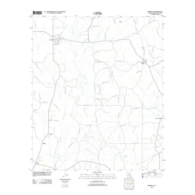
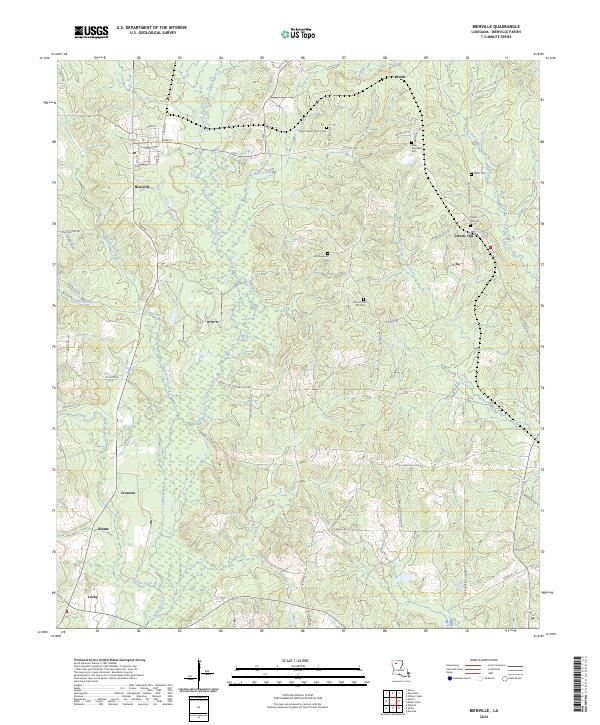
USGS Topo · Published 1963About this map
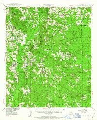
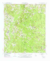
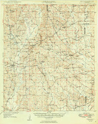
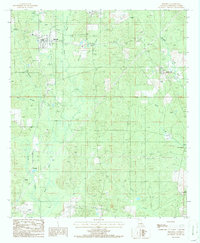
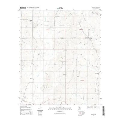
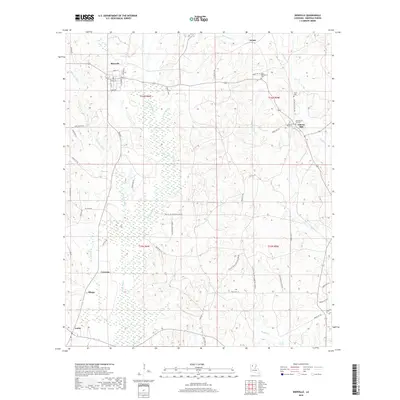
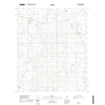
Driskill Mountain and Jordan Mountain anchor the central landscape of Bienville Parish in the years following World War II. The area is defined by a dense network of timberlands and rural communities connected by the Louisiana and Arkansas Railroad, which services points like Brice Sta and Bear Creek Siding. Evidence of the region's energy economy is visible in the numerous gas wells and a extensive underground pipe line network that traverses the terrain near Gentry Hill.
Find a feature on this map
79 named features on this map. Tap any name to fly to it.
Don’t see what you’re looking for? This feature index may not catch every label — zoom into the map to look around manually.
Map Details
Date Portrayed1947
Date Published1963
PublisherU.S. Geological Survey
Map TypeTopographic
Scale1:62,500
Physical Dimensions16.9 x 20.9 inches
Editions of this 1947 Bienville Map
2 editions found
Historical Maps of Bienville Through Time
8 maps found
Featured Locations
Source Details
SourceU.S. Geological Survey
CopyrightPublic Domain