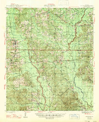
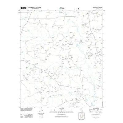
1947 Map of Goldonna
USGS Topo · Published 1947About this map
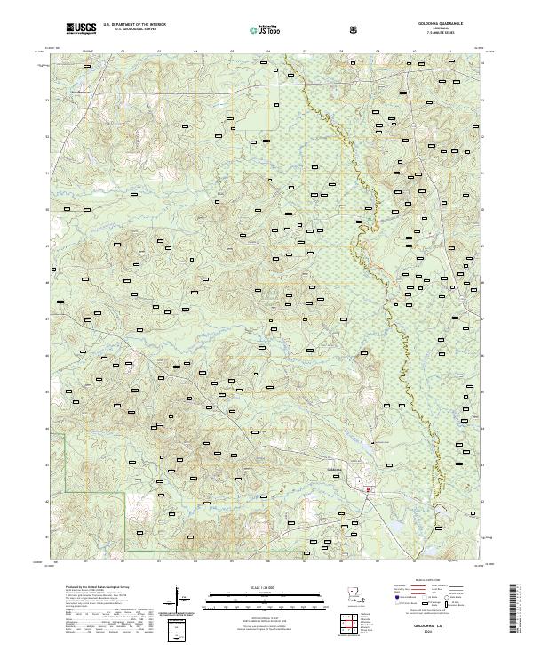
The Kisatchie National Forest dominates the landscape of North Louisiana in the late 1940s, spanning the borders of Natchitoches, Bienville, and Winn Parishes. This area is characterized by a timber-driven economy, evidenced by the presence of Blooms Mill and Sprawls Mill in the northwest, while the Louisiana and Arkansas Railroad provides a vital transportation corridor through Saline and Goldonna. Settlement is concentrated along the waterways and rail lines, with numerous rural educational and religious centers such as Readhimer Sch, Green Grove Sch, and Antioch Ch serving the local population. The topography is defined by the winding paths of the Dugdemona River to the east and Saline Bayou to the west. Genealogists can find specific family-history markers at the Goldonna Cem and Mill Creek Cem, reflecting the deep-rooted communities of this post-war rural landscape.
Find a feature on this map
61 named features on this map. Tap any name to fly to it.
Don’t see what you’re looking for? This feature index may not catch every label — zoom into the map to look around manually.
Map Details
Editions of this 1947 Goldonna Map
This is the sole edition of this map. No revisions or reprints were ever made.
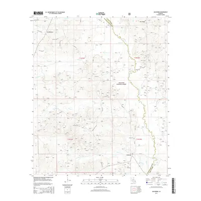
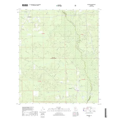
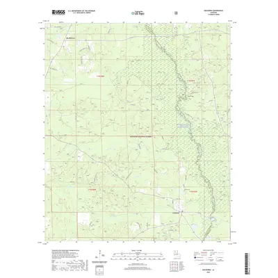
Historical Maps of Goldonna Through Time
9 maps found
1947 Goldonna
Natchitoches Parish, LA
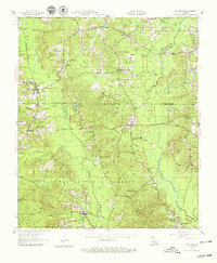
1957 Goldonna
Natchitoches Parish, LA
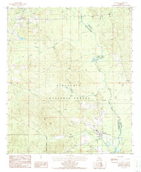
1986 Goldonna
Natchitoches Parish, LA
2003 Goldonna
Natchitoches Parish, LA
2012 Goldonna
Natchitoches Parish, LA
2015 Goldonna
Natchitoches Parish, LA
2018 Goldonna
Natchitoches Parish, LA
2020 Goldonna
Natchitoches Parish, LA
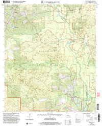
2024 Goldonna
Natchitoches Parish, LA