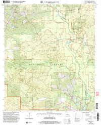
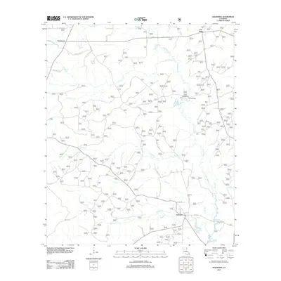
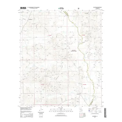
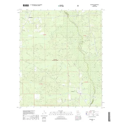
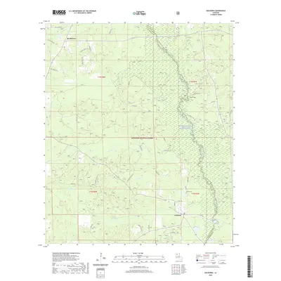
2003 Map of Goldonna
USGS Topo · Published 2005About this map
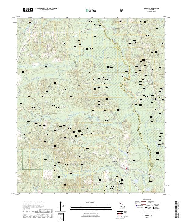
Goldonna and the surrounding woodlands of the Kisatchie National Forest anchor this early 21st-century survey of the north-central Louisiana landscape. The area is defined by a dense network of watercourses, including the Saline River and the winding Saline Bayou, which is marked by a specific Wild and Scenic River Boundary. Near the settlement of Readheimer, the terrain features several small cemeteries and a Fish Hatchery, while Pine Ridge rises to the northeast. The geography transitions from the Goldonna Corporate Boundary into the deep timber of the national forest, where Luster Creek and Malaudos Creek drain the hills. For the researcher, this map provides precise locations for recreational and utilitarian landmarks like the Boat Ramp at Cloud Crossing and various tanks and small bridges that define the local timber and river economy.
Find a feature on this map
22 named features on this map. Tap any name to fly to it.
Don’t see what you’re looking for? This feature index may not catch every label — zoom into the map to look around manually.
Map Details
Editions of this 2003 Goldonna Map
This is the sole edition of this map. No revisions or reprints were ever made.
Historical Maps of Goldonna Through Time
9 maps found
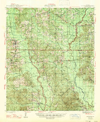
1947 Goldonna
Natchitoches Parish, LA
1957 Goldonna
Natchitoches Parish, LA
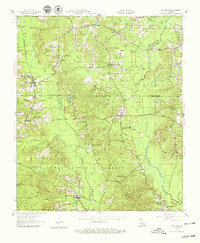
1986 Goldonna
Natchitoches Parish, LA
2003 Goldonna
Natchitoches Parish, LA
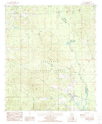
2012 Goldonna
Natchitoches Parish, LA
2015 Goldonna
Natchitoches Parish, LA
2018 Goldonna
Natchitoches Parish, LA
2020 Goldonna
Natchitoches Parish, LA
2024 Goldonna
Natchitoches Parish, LA